


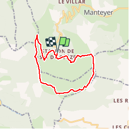

9.6 km | 15.6 km-effort


User


FREE GPS app for hiking
 SityTrail
IGN / Geographical institutes
SityTrail World
The world is yours!
Trail Walking of 13.6 km to be discovered at Provence-Alpes-Côte d'Azur, Hautes-Alpes, Manteyer. This trail is proposed by rigol05.
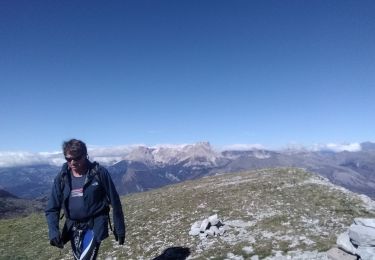
Sortie du 21/08/2017Itinéraire avec des paysages exceptionnels. Retour hors sentier à partir du Pas du loup avec orientation à vue en direction des cabanes des téléskis.Le retour classique à partir du sommet est préférable.

Walking

Mountain bike

Mountain bike

Trail

Walking

Walking

Walking

Mountain bike
Walking