


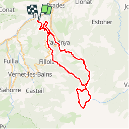


13.5 km | 17.2 km-effort

User


FREE GPS app for hiking
 SityTrail
IGN / Geographical institutes
SityTrail World
The world is yours!
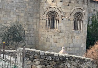
Trail Walking of 42 km to be discovered at Occitania, Pyrénées-Orientales, Ria-Sirach. This trail is proposed by ThonyM.
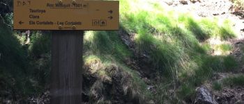
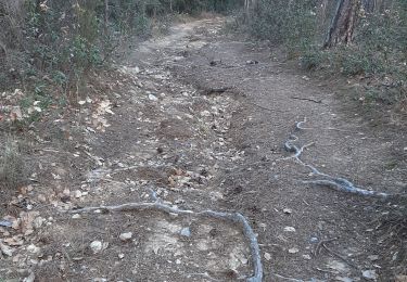
Sirach jusqu'au Camping des Sauterelles puis Cortalets le premier jour par le Col des Voltes en 5 heures. Puis départ à 7:00 pour joindre le pic par la crête des Barbets et la cheminée. Retour vers les Cortalets pour déjeuner et retour à Sirach par le Roc Mesquit et Taurinya. Mon cadeau d'anniversaire. Mission accomplie


Walking

Motor

Mountain bike

Walking


sport
Walking

Walking
Walking
Walking