


13.5 km | 17.2 km-effort
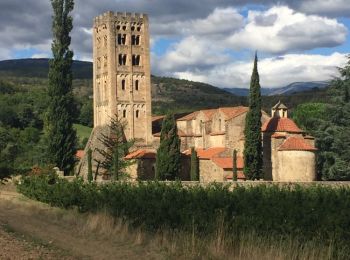
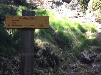
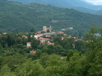
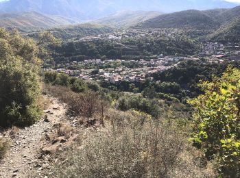
Ria-Sirach: Discover the best trails: 49 hiking trails and 3 bike and mountain-bike routes. All these trails, routes and outdoor activities are available in our SityTrail applications for smartphones and tablets.
Walking


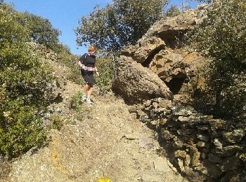
• Ballade agréable en parcours ombrage. Aucune difficulté

Mountain bike
•
Walking
Walking
Walking
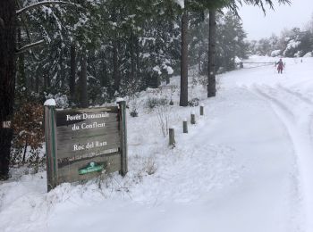
Snowshoes
Walking
Walking
Walking
Walking
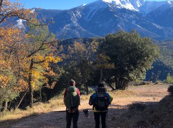
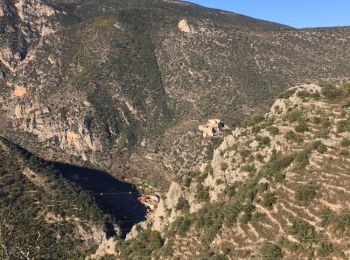
• Sirach jusqu'au Camping des Sauterelles puis Cortalets le premier jour par le Col des Voltes en 5 heures. Puis départ...

Walking
• Sirach jusqu'au Camping des Sauterelles puis Cortalets le premier jour par le Col des Voltes en 5 heures. Puis départ...
Walking
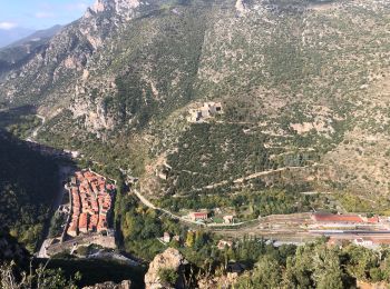
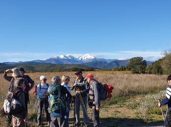
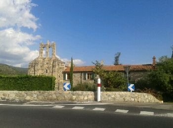
• Une bonne promenade pas difficile sous un ciel bleu. Avec vues sur Fort Liberia et Villefranche
Running
• Marche et course
Running
Running

Walking
Walking
Walking
Walking
Walking
20 trails displayed on 54
FREE GPS app for hiking
 SityTrail
IGN / Geographical institutes
SityTrail World
The world is yours!