


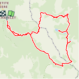


6.8 km | 11.1 km-effort


User


FREE GPS app for hiking
 SityTrail
IGN / Geographical institutes
SityTrail World
The world is yours!
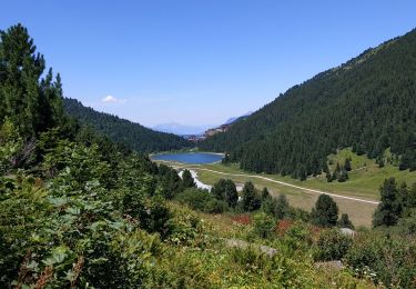
Trail Walking of 29 km to be discovered at Auvergne-Rhône-Alpes, Savoy, Les Allues. This trail is proposed by dalla.anthony.
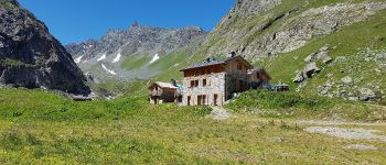
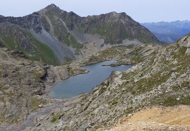
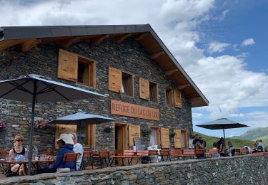
grande et longue randonnée faisant le tour de l'aiguille du fruit en passant par le refuge du saut et le refuge des lacs Merlet.
les temps indiqués sont les temps de marche en allure soutenue avec quelques poses photo uniquement.
compter 4 heures de plus avec pose pique nique et en allure normale.


Walking

Walking

Walking

Walking

Other activity

Walking
Walking
Other activity
Walking