


67 km | 163 km-effort
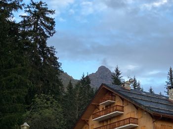
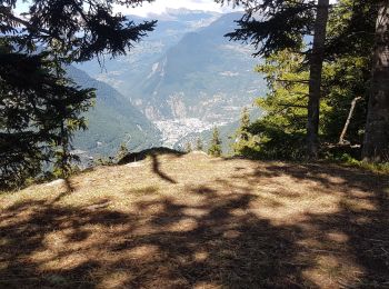
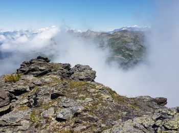
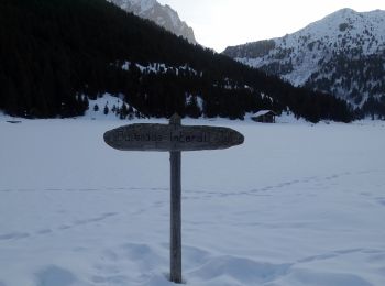
Les Allues: Discover the best trails: 101 hiking trails, 19 bike and mountain-bike routes and 8 equestrian circuits. All these trails, routes and outdoor activities are available in our SityTrail applications for smartphones and tablets.

Other activity


•

Mountain bike

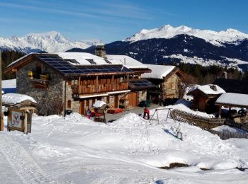
Walking
Walking
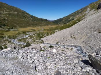
On foot
Walking
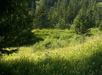
Walking
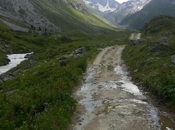
• les 300 premiers mètres de dénivelé sont un peu pénibles (routes caillouteuses pentues) mais le reste vaut la peine
Walking
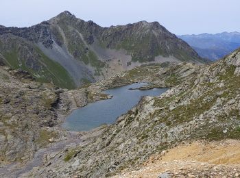
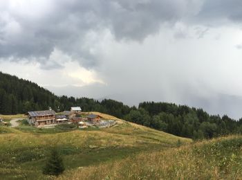
• Très beaux paysages. Possibilité de repas ou nuit au refuge.
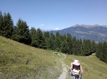
Walking
Walking
Walking
Walking
Walking
Walking
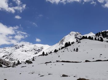
Snowshoes
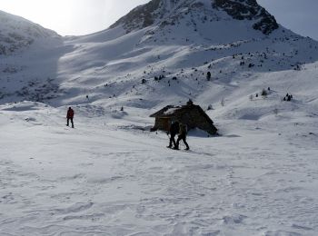
Snowshoes
Walking
Walking
Walking
Walking
20 trails displayed on 169
FREE GPS app for hiking
 SityTrail
IGN / Geographical institutes
SityTrail World
The world is yours!