


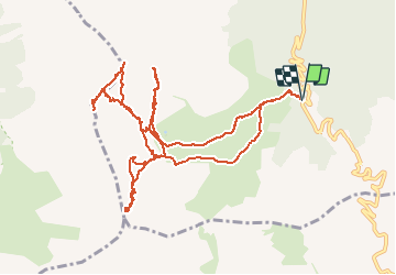

11.7 km | 19.7 km-effort

User GUIDE


FREE GPS app for hiking
 SityTrail
IGN / Geographical institutes
SityTrail World
The world is yours!
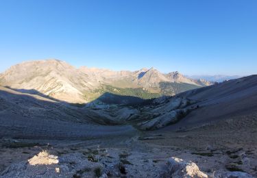
Trail Other activity of 14.3 km to be discovered at Provence-Alpes-Côte d'Azur, Hautes-Alpes, Cervières. This trail is proposed by nadd73.
Départ route du col d'Izoard. Le Laus vers 2144m se garer au virage direction les chalets d'Izoard.
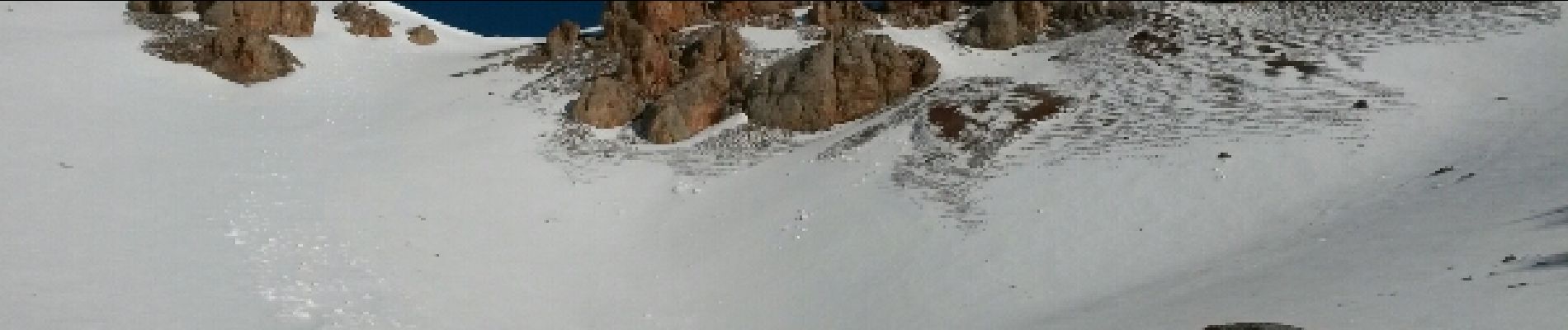
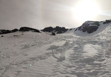
Nous avons voulu monter au Pic Beaudouis mais corniche trop dangereuse.
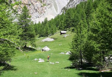
Très beau tricotage en fin de saison


Walking
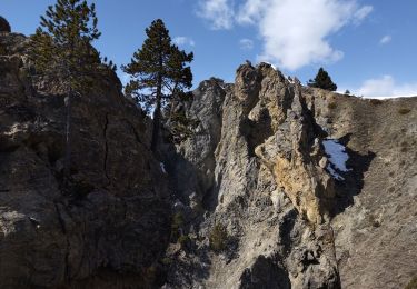
Via ferrata
Touring skiing
Walking
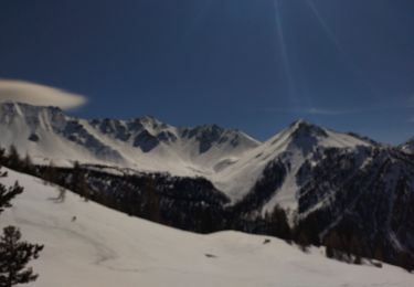
Touring skiing

Touring skiing
Walking

Other activity
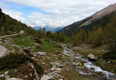
Walking