


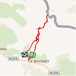


9.1 km | 14 km-effort

User


FREE GPS app for hiking
 SityTrail
IGN / Geographical institutes
SityTrail World
The world is yours!
Trail Walking of 8.1 km to be discovered at Provence-Alpes-Côte d'Azur, Hautes-Alpes, Cervières. This trail is proposed by Dervalmarc.
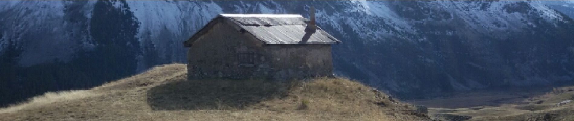
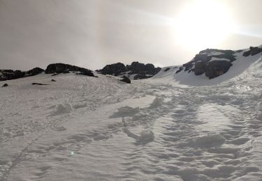
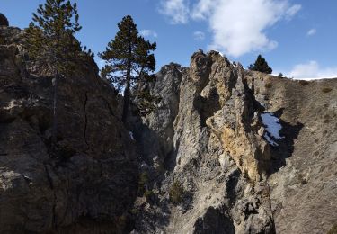
L'intérêt réside dans le faible dénivelé qui pour autant nous fait découvrir cabane d'alpage, nombreux lacs une demi douzaine, et un col frontalier.


Walking
Touring skiing
Walking
Touring skiing

Touring skiing

Walking

Walking

Walking
Other activity