


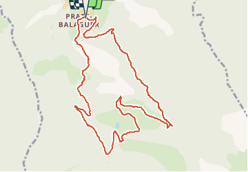

7.2 km | 15.3 km-effort

User


FREE GPS app for hiking
 SityTrail
IGN / Geographical institutes
SityTrail World
The world is yours!
Trail Snowshoes of 12.6 km to be discovered at Occitania, Pyrénées-Orientales, Fontpédrouse. This trail is proposed by jpipacific.
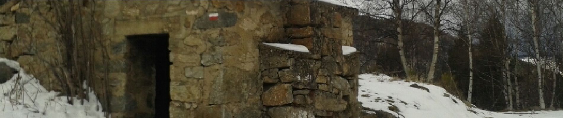
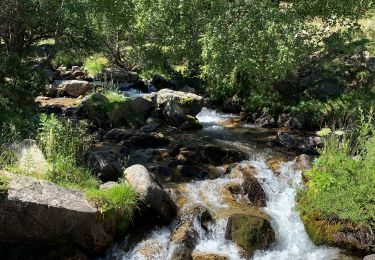
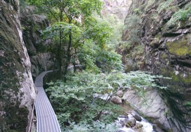
Peu d'intérêt. Ca monte tout le temps sans pause. C'est interminable... Le paysage n'est pas mal mais que sur la fin. La descente est longue et abrupte.


Walking

Walking

Walking

Walking

Walking
Walking

Walking
Walking

Walking