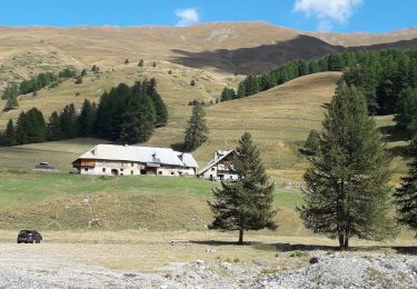
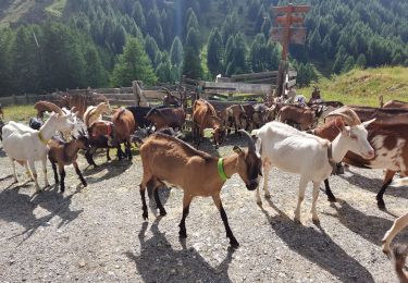
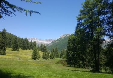
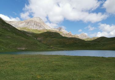
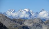
Trail Walking Cervières - le grand glaiza - Photo
 amiral13
amiral13

User GUIDE

© OpenStreetMap contributors
Length
Length
16.2 km
Max alt
Max alt
3276 m
Uphill gradient
Uphill gradient
1253 m
Km-Effort
Km-Effort  
33 km
Min alt
Min alt
2043 m
Downhill gradient
Downhill gradient
1254 m
Boucle
Boucle
Yes
Creation date :
2015-08-29 00:00:00.0
Updated on :
2015-08-29 00:00:00.0

(2 Reviews)

Walking
Walking
6h39
Difficulty : Medium

Scan this QR Code to open this trail in the SityTrail application

FREE GPS app for hiking

Logo SityTrail SityTrail
IGN / Geographical institutes

Download SityTrail from the App Store Download SityTrail from Google Play

Logo SityTrail SityTrail World
The world is yours!

Download SityTrail from the App Store Download SityTrail from Google Play Download SityTrail on Huawei AppGallery

About

Trail Walking of 16.2 km to be discovered at Provence-Alpes-Côte d'Azur, Hautes-Alpes, Cervières. This trail is proposed by amiral13.

Description

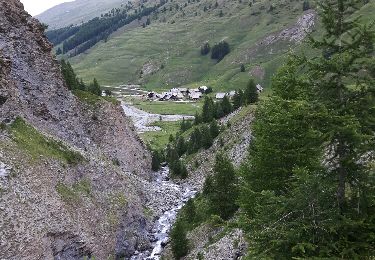
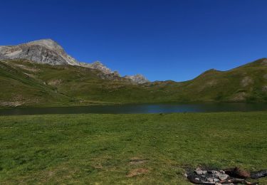
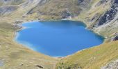
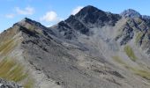
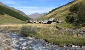
au départ des fonds de cervières on empreinte le GR58 un peu laissé à l'abandon et transformé en ruisseau pendant quelques centaines  de mètres; au col du petit malrif on découvre le lac du grand Laus en contrebas, avant de se diriger vrs le pic puis le col du malrif; à partir de laà on empreinte une sente qui s'écarte à guache du Gr pour suivre l'arrête sans encombre jusqu'au sommet.
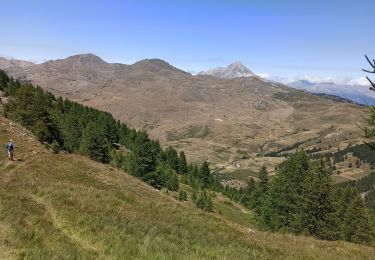
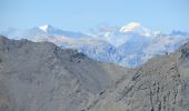
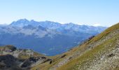
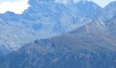
du sommet un très beau panorama s'offre à vous du viso au mont sans oublier les écrins.
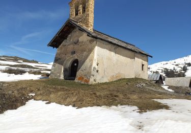
Dans les conditions de fin d'été et avec beau temps il s'agit d'une randonnée qui peut être rendu plus difficile en cas de présence de neige (début de saisons) ou de mauvais temps.
attention randonnée longue avec une dénivelée conséquente.

Elevation profile

Photos

Points of interest

Point of interest Cesana Torinese - Le sommet - Photo
amiral13
CESANA TORINESE 
Point of interest Cervières - col du petit Malrif - Photo
amiral13
Point of interest Abriès-Ristolas - point de vue - Photo
amiral13
ABRIÈS-RISTOLAS 
Point of interest Cervières - les fonds de cervières - Photo
amiral13

Positioning

Country:
France
Region :
Provence-Alpes-Côte d'Azur
Department/Province :
Hautes-Alpes
Municipality :
Cervières
Location:
Unknown
Start:(UTM)
327345 ; 4968069 (32T) N.

Comments

Please log in to post a review or rate the element


C'est vrai c'est long!


Trails nearby

Trail Walking Cervières - Le Petit rochebrune par col de péas - Photo
Walking
GUIDE
amiral13

Walking

Difficult
Cervières, Provence-Alpes-Côte d'Azur, Hautes-Alpes, France
15.2 km | 31 km-effort
8h 8min
Yes
Trail Walking Cervières - le lac des Cordes et le pic du vallon Crouzet - Photo
Walking
GUIDE
amiral13

Walking

Easy
Cervières, Provence-Alpes-Côte d'Azur, Hautes-Alpes, France
11.8 km | 22 km-effort
4h 26min
Yes
Trail Walking Cervières - Circuit du Lac des Cordes - Photo
Walking
GuyVachet

Walking

Difficult
Cervières, Provence-Alpes-Côte d'Azur, Hautes-Alpes, France
8.7 km | 17.2 km-effort
3h 55min
Yes
Trail Touring skiing Cervières - PT 2944 crête de Dormillouse  - Photo
Touring skiing
GUIDE
nadd73

Touring skiing

Medium
Cervières, Provence-Alpes-Côte d'Azur, Hautes-Alpes, France
8.7 km | 12.6 km-effort
1h 25min
No
Trail Walking Cervières - le lasseron col de chaude maison  - Photo
Walking
Evenc

Walking

Difficult
Cervières, Provence-Alpes-Côte d'Azur, Hautes-Alpes, France
13.3 km | 28 km-effort
9h 54min
Yes
Trail Walking Cervières - Le Lac des cordes  - Photo
Walking
Sorriaux

Walking

Difficult
Cervières, Provence-Alpes-Côte d'Azur, Hautes-Alpes, France
10 km | 18.7 km-effort
3h 42min
No
Trail Walking Cervières - Arsem Les fonts de Cervieres - Photo
Walking
labarone

Walking

Medium
Cervières, Provence-Alpes-Côte d'Azur, Hautes-Alpes, France
13.4 km | 23 km-effort
5h 44min
No
Trail Winter toboggan Cervières - refuge Les Fonts à Chalp - Photo
Winter toboggan
jeff2

Winter toboggan

Difficult
Cervières, Provence-Alpes-Côte d'Azur, Hautes-Alpes, France
22 km | 35 km-effort
7h 1min
No
Trail Walking Cervières - Lac des Cordes - Photo
Walking
Jacques-WIRTH

Walking

Difficult
Cervières, Provence-Alpes-Côte d'Azur, Hautes-Alpes, France
3.2 km | 8.2 km-effort
1h 44min
No


Close
My subscriptions