


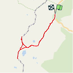


14 km | 27 km-effort

User GUIDE


FREE GPS app for hiking
 SityTrail
IGN / Geographical institutes
SityTrail World
The world is yours!
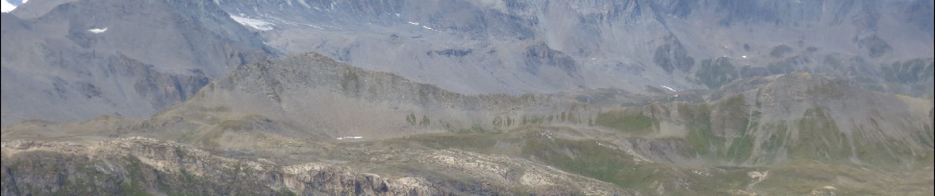
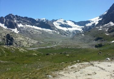
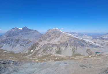
Trail Walking of 8.1 km to be discovered at Auvergne-Rhône-Alpes, Savoy, Bonneval-sur-Arc. This trail is proposed by amiral13.
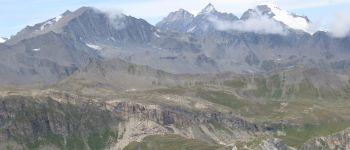
en cette fin d'été, aucun problème d'itinéraire, une bonne sente vous emmènera jusqu'au sommet de la Pointe des Fours.
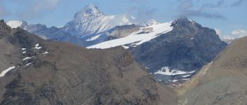
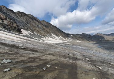
de retour au col, je laisse ma fille de 7 ans avec sa mère pour me rendre au sommet du Pélaou Blanc à peine plus difficile vu l'absence totale de neige et le beau temps.


Walking
Other activity
Walking
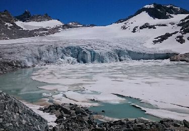
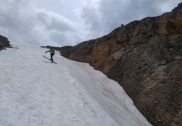
![Trail Walking Bonneval-sur-Arc - Bonneval-sur-Arc / Bessans [neige] - J4 - Photo](https://media.geolcdn.com/t/375/260/28d35c22-b143-4338-8bb6-93842cf637ce.jpg&format=jpg&maxdim=2)
Walking
Walking

Walking
Walking
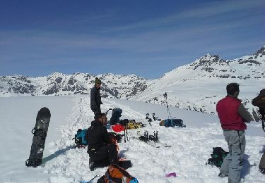
Touring skiing
Touring skiing