


14 km | 27 km-effort
Bonneval-sur-Arc: Discover the best trails: 234 hiking trails and 2 bike and mountain-bike routes. All these trails, routes and outdoor activities are available in our SityTrail applications for smartphones and tablets.

Walking


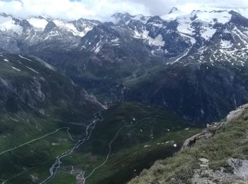
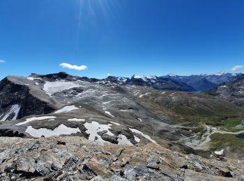
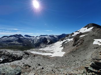
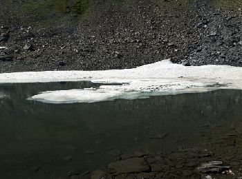
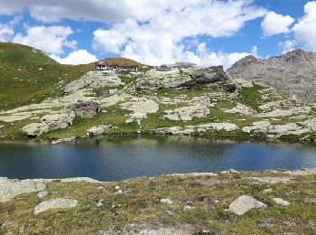
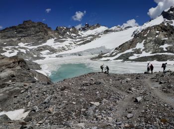
• Départ parking de l'écot Montée par la gorge de la Reculaz. Retour par le col des Evettes
Other activity
Walking
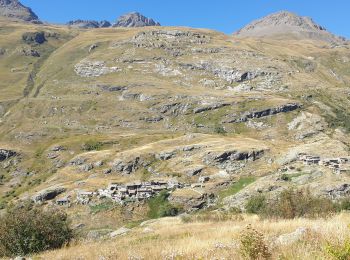
• départ de l'Ecot
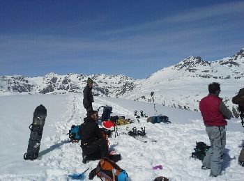
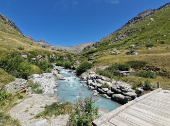
![Trail Walking Bonneval-sur-Arc - Bonneval-sur-Arc / Bessans [neige] - J4 - Photo](https://media.geolcdn.com/t/350/260/28d35c22-b143-4338-8bb6-93842cf637ce.jpg&format=jpg&maxdim=2)
Walking
Walking
Touring skiing
Touring skiing
Walking
Walking
Walking
Walking
Walking
Walking
Walking
Walking
Walking

Walking
Walking
Walking

Walking
20 trails displayed on 286
FREE GPS app for hiking
 SityTrail
IGN / Geographical institutes
SityTrail World
The world is yours!