


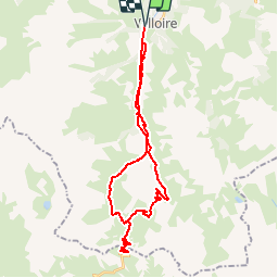

15.5 km | 29 km-effort


User


FREE GPS app for hiking
 SityTrail
IGN / Geographical institutes
SityTrail World
The world is yours!
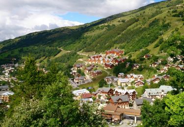
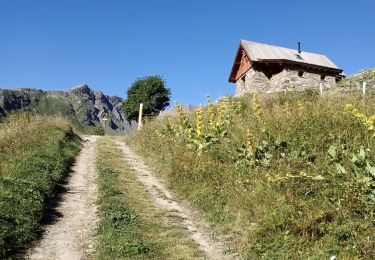
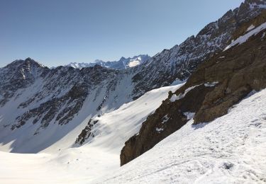
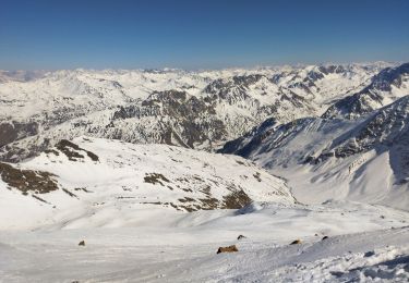
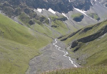
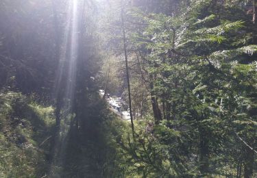
Trail Mountain bike of 34 km to be discovered at Auvergne-Rhône-Alpes, Savoy, Valloire. This trail is proposed by kipoura.
La monté et descente du Galibier en VT. Monté par la route et descente par les chemins .... http://zevtt.free.fr
Walking

Walking
Walking
Touring skiing
Touring skiing
Walking
Snowshoes
Walking
Walking