


15.5 km | 29 km-effort
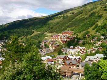
Valloire: Discover the best trails: 306 hiking trails and 25 bike and mountain-bike routes. All these trails, routes and outdoor activities are available in our SityTrail applications for smartphones and tablets.
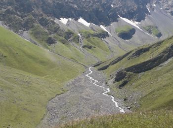
Walking


Walking
Walking
Walking

Walking

Touring skiing
Walking
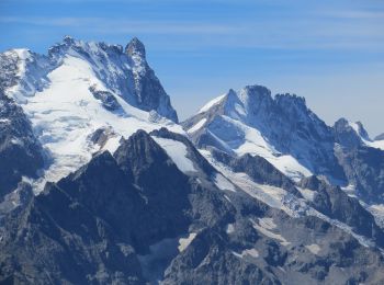
Touring skiing
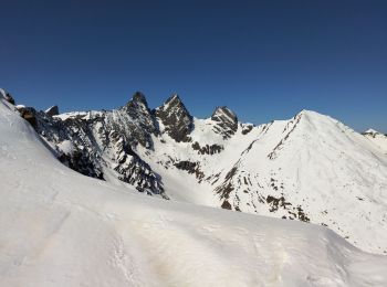
Touring skiing
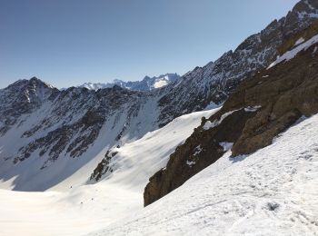
Touring skiing
Walking
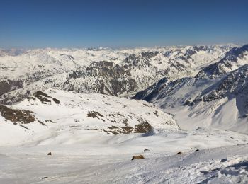
Touring skiing
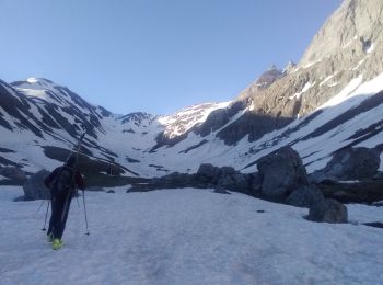
Touring skiing
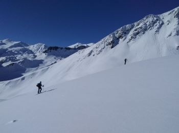
Touring skiing
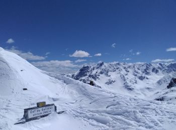
Touring skiing
Walking
Walking
Walking
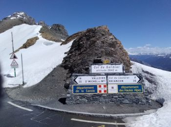
• Départ Plan LACHAT sur la Route du Col du Galibier. Montée par le Mottets, le Lac des Cerces, Col des Cerces. Retour ...
Snowshoes
Walking
20 trails displayed on 430
FREE GPS app for hiking
 SityTrail
IGN / Geographical institutes
SityTrail World
The world is yours!