


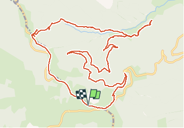

14.1 km | 19.4 km-effort


User


FREE GPS app for hiking
 SityTrail
IGN / Geographical institutes
SityTrail World
The world is yours!
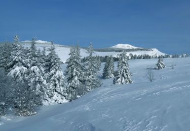
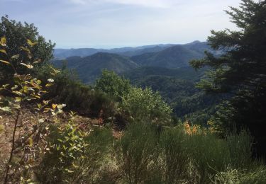
Trail Walking of 16.7 km to be discovered at Auvergne-Rhône-Alpes, Ardèche, Sainte-Eulalie. This trail is proposed by manumax.
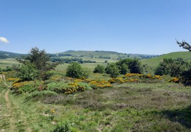
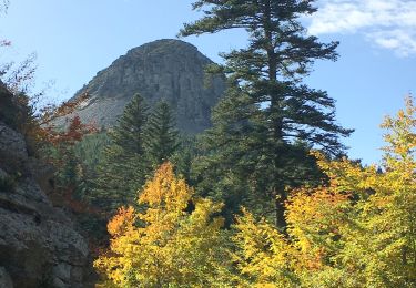
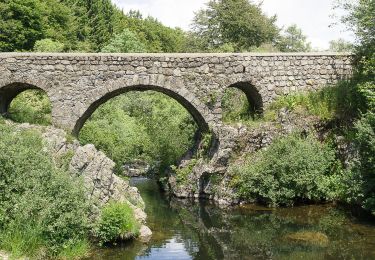
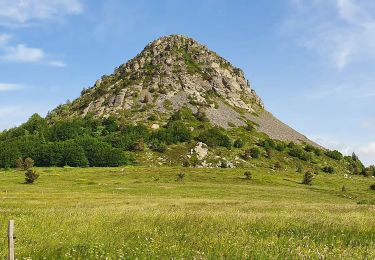
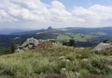
Circuit autour du mont Gerbier de Jonc, facile mais attention à deux points assez mal indiqués si la végétation est dense: en quittant la RD 378 et au hameau du Pradal.
Walking
Walking
Walking
Walking
Walking
Walking
Walking
Walking

Walking