


13.9 km | 21 km-effort
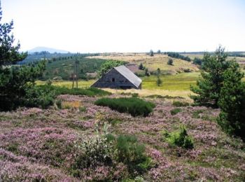
Sainte-Eulalie: Discover the best trails: 40 hiking trails, 4 bike and mountain-bike routes and 4 equestrian circuits. All these trails, routes and outdoor activities are available in our SityTrail applications for smartphones and tablets.

Walking


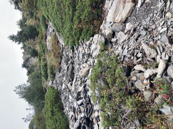
• ATTENTION AUX CHEVILLES FRAGILES ! ALT MINI 950m, MAX 1420
Walking

Walking
Walking
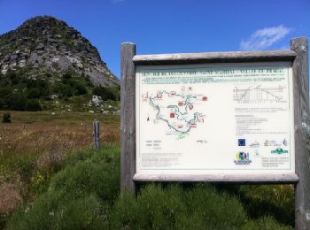
• Circuit autour du mont Gerbier de Jonc, facile mais attention à deux points assez mal indiqués si la végétation est d...
Equestrian

Mountain bike

Walking
Walking
Walking
Walking
Walking
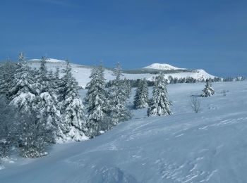
Snowshoes
Walking
Walking

Mountain bike
Walking
Walking
• rando du 16/06/2014
Walking
Walking
Walking
20 trails displayed on 53
FREE GPS app for hiking
 SityTrail
IGN / Geographical institutes
SityTrail World
The world is yours!