


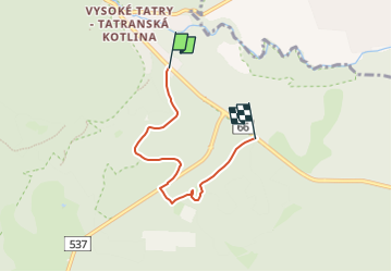

4.9 km | 8.4 km-effort

Tous les sentiers balisés d’Europe GUIDE+


FREE GPS app for hiking
 SityTrail
IGN / Geographical institutes
SityTrail World
The world is yours!
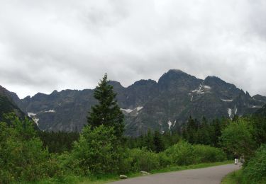
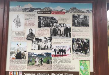
Trail On foot of 4 km to be discovered at Region of Prešov, Unknown, District of Poprad. This trail is proposed by SityTrail - itinéraires balisés pédestres.
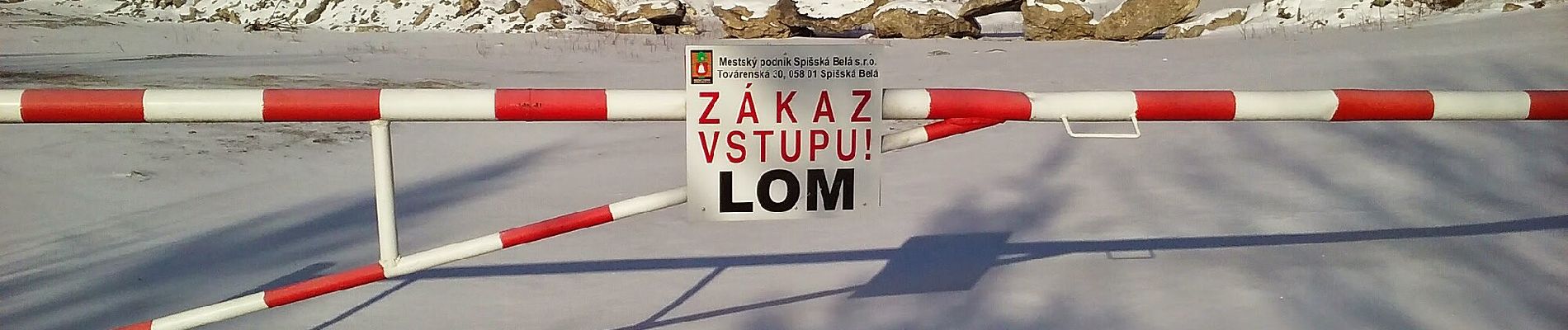
Trail created by Lesy mesta Spišská Belá, s.r.o..
Website: https://spisskabela.sk/navstevnik/vylety-do-okolia/naucny-lesnicky-chodnik-flak/


On foot

On foot

Walking
Hybrid bike
Walking
Walking
Walking
On foot
On foot