


4 km | 4.9 km-effort
District of Poprad: Discover the best trails: 12 hiking trails. All these trails, routes and outdoor activities are available in our SityTrail applications for smartphones and tablets.
On foot


• Trail created by Lesy mesta Spišská Belá, s.r.o.. Website: https://spisskabela.sk/navstevnik/vylety-do-okolia/nauc...
On foot
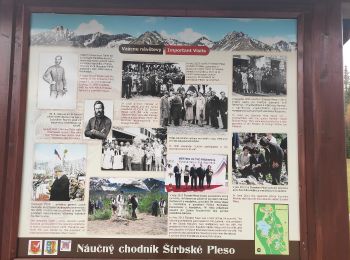
• Symbol: education

On foot
• Symbol: education
On foot
• Trail created by OZVA. Symbol: education
On foot
• Symbol: education
On foot
• Trail created by KST.
On foot
• Trail created by KST. Symbol: education
On foot
• Trail created by KST. Symbol: education
On foot
• Trail created by KST. Symbol: roundtrip
On foot

Walking
Walking
• La randonnée se termine avec la prise du téléphérique
12 trails displayed on 12
FREE GPS app for hiking
 SityTrail
IGN / Geographical institutes
SityTrail World
The world is yours!