


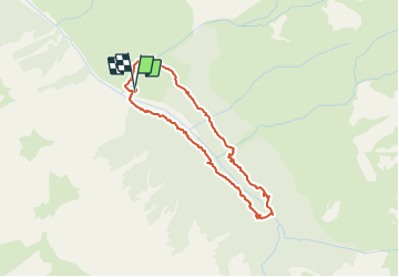

14.5 km | 29 km-effort

User


FREE GPS app for hiking
 SityTrail
IGN / Geographical institutes
SityTrail World
The world is yours!
Trail Walking of 3.7 km to be discovered at Provence-Alpes-Côte d'Azur, Hautes-Alpes, Ceillac. This trail is proposed by Dervalmarc.
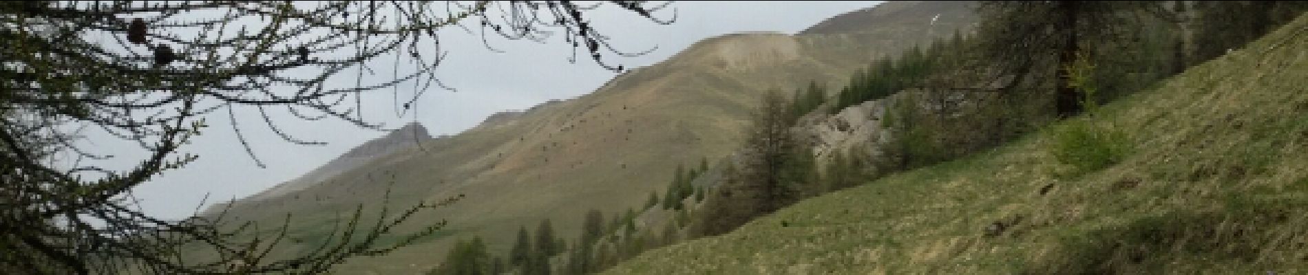
Partis pour faire le lac de Clausis. Celui ci inaccessible cause avalanche nous nous sommes rabattus sur cette petite boucle à faire en famille.


Walking

Walking

Other activity

Walking

Walking
Walking

Walking
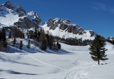
Snowshoes
Snowshoes