


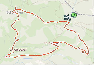


7.3 km | 11.4 km-effort

Par Mumu.larandonneuse


FREE GPS app for hiking
 SityTrail
IGN / Geographical institutes
SityTrail World
The world is yours!
Trail Walking of 8.2 km to be discovered at Auvergne-Rhône-Alpes, Upper Savoy, Saint-Gervais-les-Bains. This trail is proposed by Je vous emmène sur mes chemins .
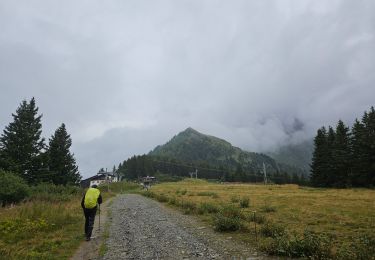
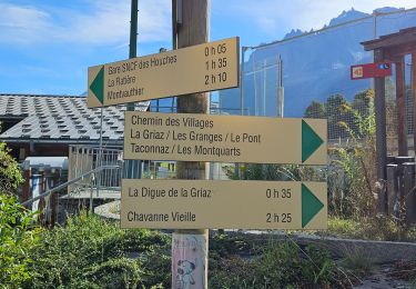
Dernier jour d'ouverture du télécabine de Bellevue, on en profite !
😱 La montée de l'Are est rude


25 photos in total. Please click on a photo to see them all in the gallery.

Walking

Walking

Walking

Walking
Walking
Walking
Walking
Walking
Walking