


5.9 km | 10.7 km-effort
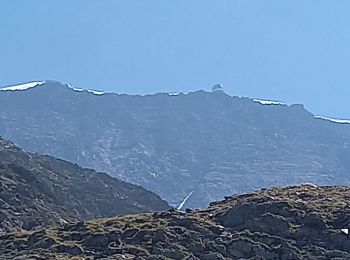
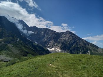
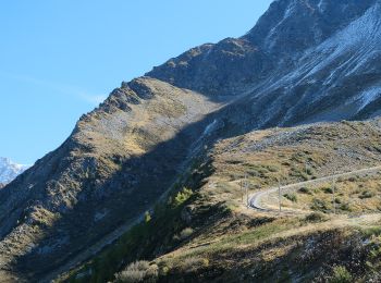
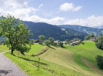
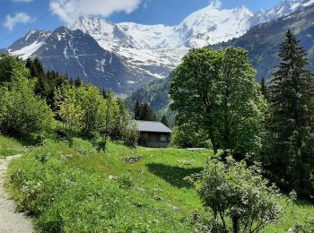
Saint-Gervais-les-Bains: Discover the best trails: 245 hiking trails and 7 bike and mountain-bike routes. All these trails, routes and outdoor activities are available in our SityTrail applications for smartphones and tablets.

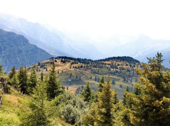
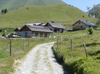
Walking


Walking
•
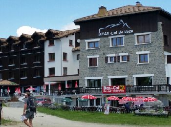
Walking
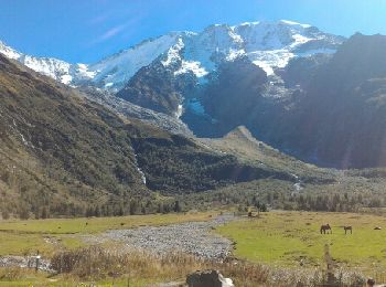
Walking
Walking
Walking

Walking
Walking
Walking
On foot
On foot
Walking
Walking
Walking
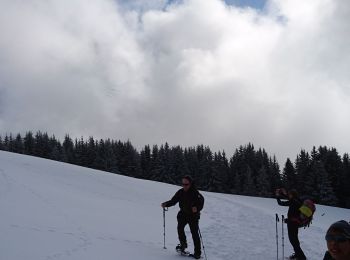
Snowshoes
Walking
Walking
Walking
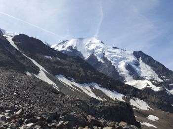
• Les Houches -> Miage -> Contamines
Walking
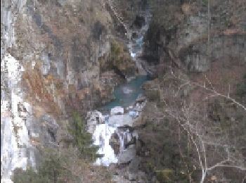
• Départ du centre jusqu'au thermes puis centrale hydrolique EDF, puis remontée.

Snowshoes
20 trails displayed on 289
FREE GPS app for hiking
 SityTrail
IGN / Geographical institutes
SityTrail World
The world is yours!