


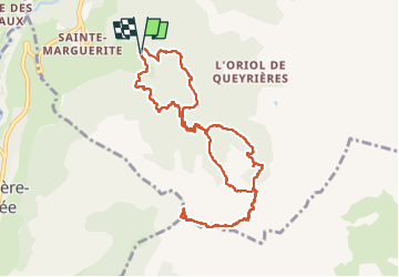

14.3 km | 25 km-effort


User


FREE GPS app for hiking
 SityTrail
IGN / Geographical institutes
SityTrail World
The world is yours!
Trail Walking of 11.3 km to be discovered at Provence-Alpes-Côte d'Azur, Hautes-Alpes, Saint-Martin-de-Queyrières. This trail is proposed by PapouBertrand.
Superbe rando mais pour faire une montée moins raide réaliser le circuit en sens inverse.
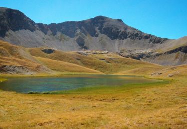
 - Photo 1")
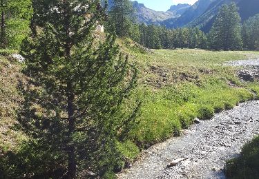
 - Photo 2")
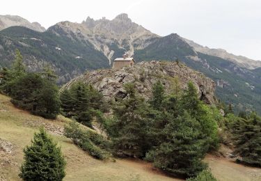
 - Photo 3")
 - Photo 4")
 - Photo 5")
 - Photo 6")
 - Photo 7")
 - Photo 8")
 - Photo 9")
 - Photo 10")
 - Photo 11")
Walking

On foot

On foot

Walking
Walking
Walking

Other activity

Other activity

Other activity