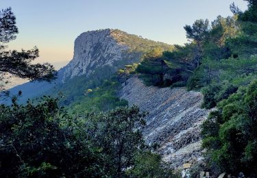
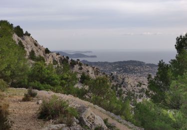
9.9 km | 17.5 km-effort
Toulon TourRoyal
pb77
User
Length
11.5 km
Max alt
43 m
Uphill gradient
128 m
Km-Effort
13.2 km
Min alt
2 m
Downhill gradient
134 m
Boucle
Yes
Creation date :
2015-05-03 00:00:00.0
Updated on :
2015-05-03 00:00:00.0
--
Difficulty : Medium
FREE GPS app for hiking
About
Trail Running of 11.5 km to be discovered at Provence-Alpes-Côte d'Azur, Var, Toulon. This trail is proposed by pb77.
Positioning
Country:
France
Region :
Provence-Alpes-Côte d'Azur
Department/Province :
Var
Municipality :
Toulon
Location:
Unknown
Start:(Dec)
Start:(UTM)
740566 ; 4777731 (31T) N.
Comments
Trails nearby
Faron versant Nord
Walking
Very difficult
(1)
Toulon,
Provence-Alpes-Côte d'Azur,
Var,
France
6h 38min
Yes
Faron côté nord
Walking
Difficult
(1)
Toulon,
Provence-Alpes-Côte d'Azur,
Var,
France
4.6 km | 10.1 km-effort
3h 8min
No
SityTrail - Le tour du coudon
Walking
Difficult
(1)
La Valette-du-Var,
Provence-Alpes-Côte d'Azur,
Var,
France
11.9 km | 19.4 km-effort
5h 0min
Yes
Tour royale à Monaco 13 Novembre 2021
Walking
Easy
Toulon,
Provence-Alpes-Côte d'Azur,
Var,
France
15.6 km | 19.8 km-effort
5h 49min
No
4 Chemins des Routes - Le Croupatier - Le Broussan - Col du Corps de Garde
Walking
Difficult
Toulon,
Provence-Alpes-Côte d'Azur,
Var,
France
15.2 km | 24 km-effort
7h 0min
Yes
Uba - St Antoine - Point sublime - Sommet du Faron - Retour Uba
Walking
Medium
Toulon,
Provence-Alpes-Côte d'Azur,
Var,
France
15.2 km | 25 km-effort
5h 0min
Yes
reco faron 2
Walking
Difficult
Toulon,
Provence-Alpes-Côte d'Azur,
Var,
France
6.5 km | 12.2 km-effort
2h 30min
Yes
Presqu'île de Saint-Mandrier
Walking
Easy
(1)
Saint-Mandrier-sur-Mer,
Provence-Alpes-Côte d'Azur,
Var,
France
3.2 km | 4.4 km-effort
1h 45min
Yes
piste cyclable la garde almanar hyeres
Cycle
Very easy
(1)
La Garde,
Provence-Alpes-Côte d'Azur,
Var,
France
13.8 km | 15.1 km-effort
41min
No