


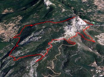
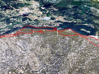
9.9 km | 17.5 km-effort
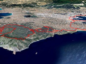
Toulon: Discover the best trails: 255 hiking trails and 31 bike and mountain-bike routes. All these trails, routes and outdoor activities are available in our SityTrail applications for smartphones and tablets.

Walking


Walking

Walking

Walking
Walking
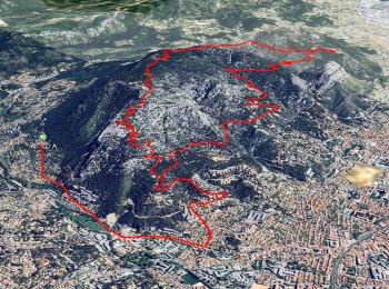
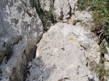
• Randonnée difficile par la nature du terrain très caillouteux.

Walking

Walking
Walking

Walking
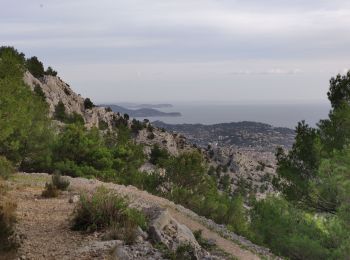
• Jusqu'au Destel

Walking
Electric bike
Electric bike
Walking
Electric bike

Nordic walking
Walking

Walking

Walking

Walking

Walking
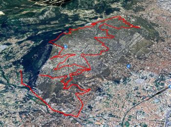
20 trails displayed on 311
FREE GPS app for hiking
 SityTrail
IGN / Geographical institutes
SityTrail World
The world is yours!