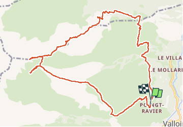
![](/images/other/stat-length.png)
![Trail Walking Valloire - anticime de la Grande Chible et plus - Photo](https://media.geolcdn.com/t/1900/400/6e2548aa-19ef-4b42-be36-ae13fefd106f.jpg&format=pjpeg&maxdim=2)
anticime de la Grande Chible et plus
nadd73
User GUIDE
![Length](/images/other/stat-length.png)
![Max alt](https://static1.geolcdn.com/siteimages/upload/files/1508320355ic_sort_altitude_max_24dp.png)
![Uphill gradient](https://static1.geolcdn.com/siteimages/upload/files/1508320355ic_sort_den_pos_24dp.png)
![Km-Effort](/images/other/stat-length.png)
![Min alt](https://static1.geolcdn.com/siteimages/upload/files/1508320355ic_sort_altitude_min_24dp.png)
![Downhill gradient](https://static1.geolcdn.com/siteimages/upload/files/1508320355ic_sort_den_neg_24dp.png)
![Boucle](https://static1.geolcdn.com/siteimages/upload/files/16400158638029165_repeat_loop_refresh_sync_direction_icon.png)
![Walking](https://static1.geolcdn.com/sitytour/trail-icons/101.png)
5h40
Difficulty : Difficult
![Scan this QR Code to open this trail in the SityTrail application](https://capi.geolives.com/qq0zvz2zws4bq2lad0pu/sitytour/trails/4150950/qr.png?size=200)
FREE GPS app for hiking
About
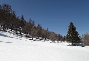
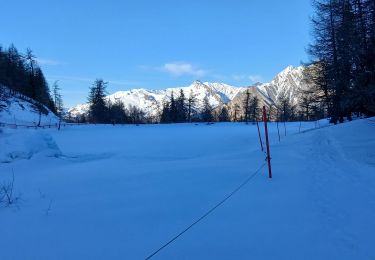
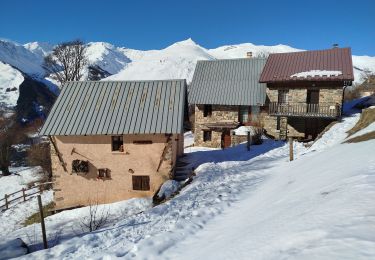
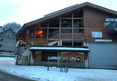
Trail Walking of 13.6 km to be discovered at Auvergne-Rhône-Alpes, Savoy, Valloire. This trail is proposed by nadd73.
Description
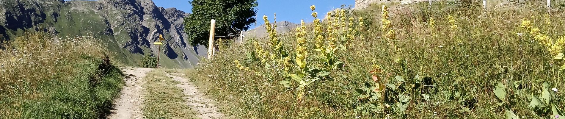
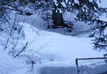
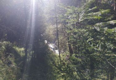
Attention souvent hors sentiers parfois l'herbe était très haute. Sinon des allers et retours car je n'ai pas pu passer.
Pour monter à la Grande Chible une des ravine était vraiment énorme et que de l'ardoise émiettée donc j' ai fait demi tour.
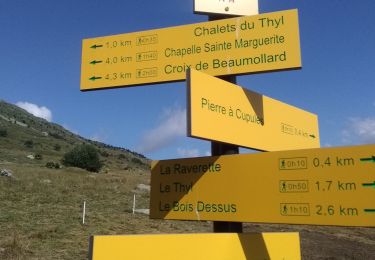
Et un moment je n'ai pas voulu suivre le chemin qui me permettait de venir au parking... Et du coup j'ai dû descendre dans la pente en herbe.
Il vaut mieux suivre le vrai sentier..
Positioning
Comments
Trails nearby
![Trail Walking Valloire - Tour de Valloire - Photo](https://media.geolcdn.com/t/375/260/ext.jpg?maxdim=2&url=https%3A%2F%2Fservices.sitytrail.com%2FGeolivesWS%2FDownloadMedia.ashx%3FTrailID%3D336767%26Media%3Dfix__20140813165712.jpg)
![Walking Walking](https://static1.geolcdn.com/sitytour/trail-icons/101.png)
Walking
![](/images/other/stat-length.png)
![](https://static1.geolcdn.com/siteimages/upload/files/16400158638029165_repeat_loop_refresh_sync_direction_icon.png)
![Trail Walking Valloire - valloire à poingt ravier - Photo](https://media.geolcdn.com/t/375/260/ext.jpg?maxdim=2&url=https%3A%2F%2Fservices.sitytrail.com%2FGeolivesWS%2FDownloadMedia.ashx%3FTrailID%3D139009%26Media%3D20120714170941.jpeg)
![Walking Walking](https://static1.geolcdn.com/sitytour/trail-icons/101.png)
Walking
![](/images/other/stat-length.png)
![](https://static1.geolcdn.com/siteimages/upload/files/16400158638029165_repeat_loop_refresh_sync_direction_icon.png)
![Trail Walking Saint-Michel-de-Maurienne - Le Thyl, pré Bérard - Photo](https://media.geolcdn.com/t/375/260/fc503a96-c499-4a4d-86da-0ca15e3c56c8.jpg&format=jpg&maxdim=2)
![Walking Walking](https://static1.geolcdn.com/sitytour/trail-icons/101.png)
Walking
![](/images/other/stat-length.png)
![](https://static1.geolcdn.com/siteimages/upload/files/16400158638029165_repeat_loop_refresh_sync_direction_icon.png)
![Trail Snowshoes Montricher-Albanne - Albanne - les Arpons - Photo](https://media.geolcdn.com/t/375/260/031e54ac-7045-4e62-a170-d5ee0783384c.jpg&format=jpg&maxdim=2)
![Snowshoes Snowshoes](https://static1.geolcdn.com/sitytour/trail-icons/504.png)
Snowshoes
![](/images/other/stat-length.png)
![](https://static1.geolcdn.com/siteimages/upload/files/16400158638029165_repeat_loop_refresh_sync_direction_icon.png)
![Trail Snowshoes Montricher-Albanne - 74-Paradisblanc_BellePlagne_7.3km130m - Photo](https://media.geolcdn.com/t/375/260/c2804de0-7f45-44a0-9467-62d325efde41.jpg&format=jpg&maxdim=2)
![Snowshoes Snowshoes](https://static1.geolcdn.com/sitytour/trail-icons/504.png)
Snowshoes
![](/images/other/stat-length.png)
![](https://static1.geolcdn.com/siteimages/upload/files/16400158638029165_repeat_loop_refresh_sync_direction_icon.png)
![Trail Snowshoes Montricher-Albanne - 74-vinouve_piste_lac_7km30m - Photo](https://media.geolcdn.com/t/375/260/d8cdecc9-6789-40f7-ab65-de1fde7c05cb.jpg&format=jpg&maxdim=2)
![Snowshoes Snowshoes](https://static1.geolcdn.com/sitytour/trail-icons/504.png)
Snowshoes
![](/images/other/stat-length.png)
![](https://static1.geolcdn.com/siteimages/upload/files/16400158638029165_repeat_loop_refresh_sync_direction_icon.png)
![Trail Snowshoes Valloire - Maurienne Valloire le panomarique - Photo](https://media.geolcdn.com/t/375/260/7e18c8dc-1201-44a9-9b7d-7b79e7067d64.jpg&format=jpg&maxdim=2)
![Snowshoes Snowshoes](https://static1.geolcdn.com/sitytour/trail-icons/504.png)
Snowshoes
![](/images/other/stat-length.png)
![](https://static1.geolcdn.com/siteimages/upload/files/16400158638029165_repeat_loop_refresh_sync_direction_icon.png)
![Trail Walking Valloire - Valloire - Photo](https://media.geolcdn.com/t/375/260/d0d671da-538a-4fe1-a4de-eca0138f6132.jpg&format=jpg&maxdim=2)
![Walking Walking](https://static1.geolcdn.com/sitytour/trail-icons/101.png)
Walking
![](/images/other/stat-length.png)
![](https://static1.geolcdn.com/siteimages/upload/files/16400158638029165_repeat_loop_refresh_sync_direction_icon.png)
![Trail Walking Valloire - VALLOIRE :serroz gorge des balais gorge d'enfer - Photo](https://media.geolcdn.com/t/375/260/3b6ac4fc-13aa-4c57-b746-3dd336efd252.jpg&format=jpg&maxdim=2)
![Walking Walking](https://static1.geolcdn.com/sitytour/trail-icons/101.png)
Walking
![](/images/other/stat-length.png)
![](https://static1.geolcdn.com/siteimages/upload/files/16400158638029165_repeat_loop_refresh_sync_direction_icon.png)