


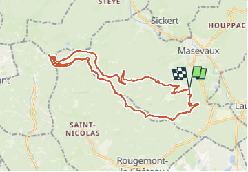


19.9 km | 34 km-effort

User


FREE GPS app for hiking
 SityTrail
IGN / Geographical institutes
SityTrail World
The world is yours!
Trail Walking of 20 km to be discovered at Grand Est, Haut-Rhin, Masevaux-Niederbruck. This trail is proposed by boubou68.
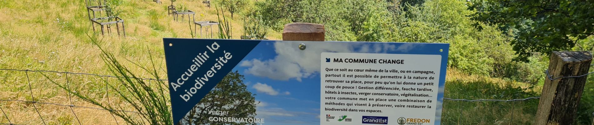
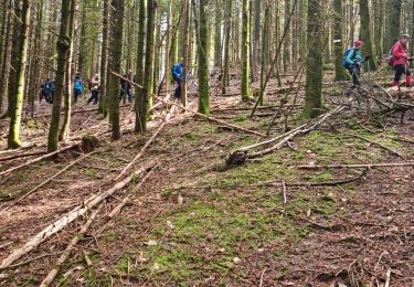
Pico- belle rando " avé " Alain mon ami botaniste...


24 photos in total. Please click on a photo to see them all in the gallery.

Walking

Walking

Walking

Walking

On foot

On foot

Walking

Walking
Walking