


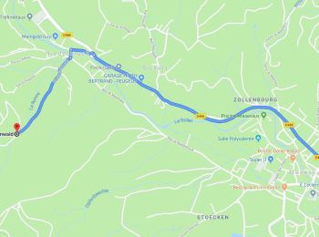
19.9 km | 34 km-effort
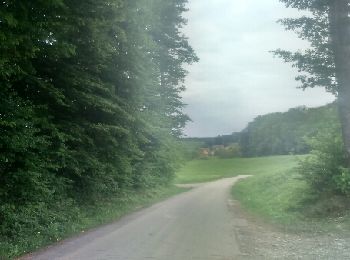
Masevaux-Niederbruck: Discover the best trails: 102 hiking trails, 7 bike and mountain-bike routes and 2 equestrian circuits. All these trails, routes and outdoor activities are available in our SityTrail applications for smartphones and tablets.
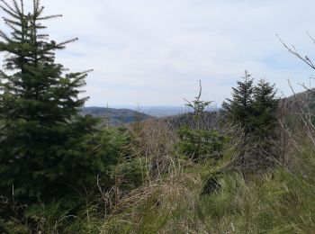
Walking


Walking
Walking
Walking
Walking
Walking
Walking
Walking
Walking
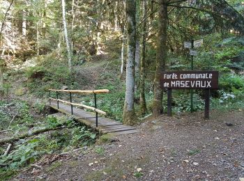
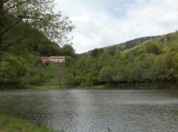
• Partie du GR 531, départ place du marché vers le lac Bleu ( annexe de Masevaux), puis la traversée de Lauw, longer la...
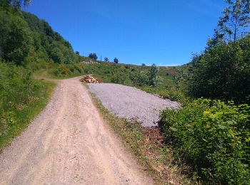
Mountain bike
• zzz
Walking
Mountain bike
Walking
Walking
Walking
Walking
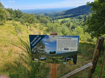
• Belle sortie à caractère familial malgré quelques belles grimpettes
Walking
Walking
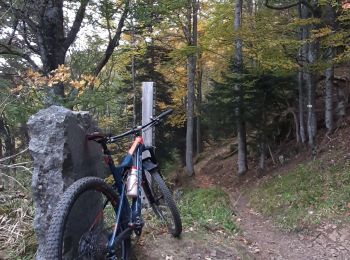
Mountain bike
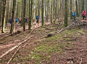
• découverte de beaux singles techniques

Walking
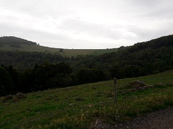
• C'est une belle randonnée (distance:20km,dénivelé:1000m) dans la forêt vosgienne,avec à l'arrivée deux sommets et une...
20 trails displayed on 112
FREE GPS app for hiking
 SityTrail
IGN / Geographical institutes
SityTrail World
The world is yours!