


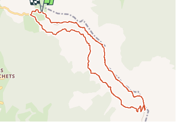

7.7 km | 17.1 km-effort


User


FREE GPS app for hiking
 SityTrail
IGN / Geographical institutes
SityTrail World
The world is yours!
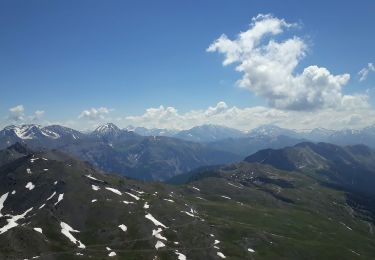
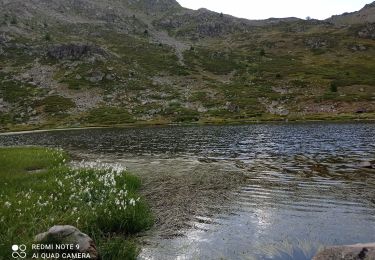
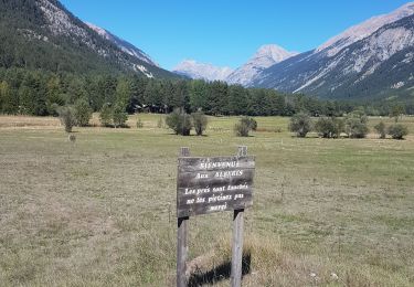
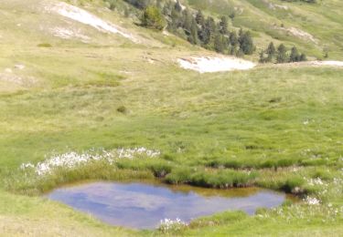
Trail Walking of 11 km to be discovered at Provence-Alpes-Côte d'Azur, Hautes-Alpes, Saint-Chaffrey. This trail is proposed by cron.
Cette randonnée, sans être aérienne, présente quelques passages qui peuvent déplaire aux personnes sujettes au vertige ...

Walking
Walking

Walking

Walking

Walking

Mountain bike
Walking
Walking
Walking