Saint-Chaffrey, Hautes-Alpes: Best trails, routes and walks

3 comments

Saint-Chaffrey: Discover the best trails: 49 hiking trails and 16 bike and mountain-bike routes. All these trails, routes and outdoor activities are available in our SityTrail applications for smartphones and tablets.


The best trails (87)
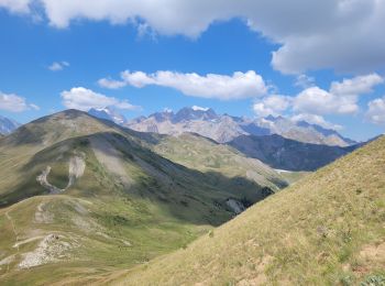
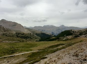
Trail Walking Saint-Chaffrey - le Prorel au départ de la Serre Chevalier - Photo
Walking 7.911
Km
GUIDE

Walking

Easy
Saint-Chaffrey, Provence-Alpes-Côte d'Azur, Hautes-Alpes, France
7.9 km | 13.8 km-effort
3h 41min
443 m
440 m
Yes
amiral13

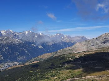
Trail Walking Saint-Chaffrey - Chantemerle-la Salle les Aples 13-08-2018 - Photo
Walking 9.726
Km
GUIDE

Walking

Easy
(1)
Saint-Chaffrey, Provence-Alpes-Côte d'Azur, Hautes-Alpes, France
9.7 km | 15.9 km-effort
2h 56min
461 m
469 m
No
fredetpascale

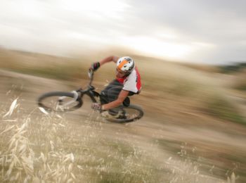
Trail Mountain bike Saint-Chaffrey - granons tronchet - Photo
Mountain bike 15.501
Km

Mountain bike

Difficult
(1)
Saint-Chaffrey, Provence-Alpes-Côte d'Azur, Hautes-Alpes, France
15.5 km | 24 km-effort
1h 52min
654 m
622 m
No
Vincentetourmy

Trail Walking Saint-Chaffrey - 05 lacs de l'oule,christol,rond 25/08/24 - Photo
Walking 14.376
Km

Walking

Very difficult
Saint-Chaffrey, Provence-Alpes-Côte d'Azur, Hautes-Alpes, France
14.4 km | 23 km-effort
6h 54min
613 m
614 m
Yes
silvestreclaudine

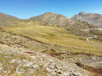
Trail Walking Saint-Chaffrey - col du granon-croix de la cime - Photo
Walking 6.453
Km

Walking

Medium
Saint-Chaffrey, Provence-Alpes-Côte d'Azur, Hautes-Alpes, France
6.5 km | 10.7 km-effort
1h 59min
317 m
320 m
Yes
RayFab

Trail Walking Saint-Chaffrey - les crêtes de Peyrolles - Photo
Walking 13.007
Km
GUIDE

Walking

Easy
Saint-Chaffrey, Provence-Alpes-Côte d'Azur, Hautes-Alpes, France
13 km | 21 km-effort
5h 20min
592 m
593 m
Yes
amiral13

Trail Walking Saint-Chaffrey - La Gardiole et le grand lac de l'Oule - Photo
Walking 9.103
Km

Walking

Medium
(1)
Saint-Chaffrey, Provence-Alpes-Côte d'Azur, Hautes-Alpes, France
9.1 km | 15.2 km-effort
3h 17min
455 m
453 m
Yes
sulcata80

Trail Mountain bike Saint-Chaffrey - le huit du granon lenlon l olive  - Photo
Mountain bike 20.655
Km

Mountain bike

Difficult
Saint-Chaffrey, Provence-Alpes-Côte d'Azur, Hautes-Alpes, France
21 km | 31 km-effort
2h 14min
797 m
797 m
Yes
Vincentetourmy

Trail Walking Saint-Chaffrey - le lac de l'Oule - Photo
Walking 7.437
Km

Walking

Medium
Saint-Chaffrey, Provence-Alpes-Côte d'Azur, Hautes-Alpes, France
7.4 km | 11.2 km-effort
3h 19min
280 m
281 m
Yes
Thierry.T

Trail Walking Saint-Chaffrey - Croix de la Cime sur la Crête de Peyrolle - Photo
Walking 6.293
Km

Walking

Medium
Saint-Chaffrey, Provence-Alpes-Côte d'Azur, Hautes-Alpes, France
6.3 km | 10.4 km-effort
5h 15min
304 m
307 m
Yes
GuyVachet

Trail Walking Saint-Chaffrey - lac de l Oule col du Granon - Photo
Walking 8.1
Km

Walking

Medium
Saint-Chaffrey, Provence-Alpes-Côte d'Azur, Hautes-Alpes, France
8.1 km | 10.7 km-effort
3h 31min
192 m
191 m
Yes
BLANCHET

Trail Mountain bike Saint-Chaffrey - Descente du Rocher Blanc après la Via - Photo
Mountain bike 15.106
Km

Mountain bike

Very difficult
Saint-Chaffrey, Provence-Alpes-Côte d'Azur, Hautes-Alpes, France
15.1 km | 20 km-effort
2h 0min
151 m
1125 m
No
tracegps

Trail Mountain bike Saint-Chaffrey - Briançon par le haut parmi tel l’Outre Chantemerle  - Photo
Mountain bike 15.441
Km

Mountain bike

Medium
Saint-Chaffrey, Provence-Alpes-Côte d'Azur, Hautes-Alpes, France
15.4 km | 21 km-effort
1h 18min
403 m
404 m
Yes
sullecram

Trail Walking Saint-Chaffrey - ea - Photo
Walking 10.67
Km

Walking

Difficult
Saint-Chaffrey, Provence-Alpes-Côte d'Azur, Hautes-Alpes, France
10.7 km | 16.7 km-effort
5h 29min
452 m
465 m
Yes
cherlieu

Trail Walking Saint-Chaffrey - Granon - Peyrolle - Photo
Walking 11.0
Km

Walking

Medium
Saint-Chaffrey, Provence-Alpes-Côte d'Azur, Hautes-Alpes, France
11 km | 17.5 km-effort
3h 58min
485 m
488 m
Yes
cron

Trail Walking Saint-Chaffrey - La Gardiole depuis le col de Granon  - Photo
Walking 11.85
Km
GUIDE

Walking

Medium
Saint-Chaffrey, Provence-Alpes-Côte d'Azur, Hautes-Alpes, France
11.8 km | 22 km-effort
7h 5min
773 m
773 m
Yes
orsel

Trail Walking Saint-Chaffrey - Col du Granon - Photo
Walking 8.847
Km

Walking

Very easy
Saint-Chaffrey, Provence-Alpes-Côte d'Azur, Hautes-Alpes, France
8.8 km | 15.4 km-effort
3h 48min
490 m
499 m
Yes
GOHIER

Trail Alpine skiing Saint-Chaffrey - Serre chevalier station - Photo
Alpine skiing 63.135
Km

Alpine skiing

Very easy
Saint-Chaffrey, Provence-Alpes-Côte d'Azur, Hautes-Alpes, France
63 km | 150 km-effort
7h 36min
6243 m
7206 m
No
GOHIER

Trail Walking Saint-Chaffrey - lacdel'ouleAR - Photo
Walking 6.935
Km

Walking

Medium
Saint-Chaffrey, Provence-Alpes-Côte d'Azur, Hautes-Alpes, France
6.9 km | 10.6 km-effort
3h 11min
274 m
272 m
Yes
annehc

Trail Walking Saint-Chaffrey - Be27/ - Photo
Walking 6.395
Km

Walking

Medium
Saint-Chaffrey, Provence-Alpes-Côte d'Azur, Hautes-Alpes, France
6.4 km | 8.6 km-effort
2h 0min
43 m
533 m
No
HUNAULT

20 trails displayed on 87

FREE GPS app for hiking

Logo SityTrail SityTrail

IGN / Geographical institutes

Download SityTrail from the App Store Download SityTrail from Google Play

Logo SityTrail SityTrail World

The world is yours!

Download SityTrail from the App Store Download SityTrail from Google Play Download SityTrail on Huawei AppGallery

Activities

Close
My subscriptions