


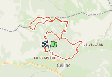

13.4 km | 26 km-effort

User GUIDE


FREE GPS app for hiking
 SityTrail
IGN / Geographical institutes
SityTrail World
The world is yours!
Trail Walking of 14 km to be discovered at Provence-Alpes-Côte d'Azur, Hautes-Alpes, Ceillac. This trail is proposed by orsel.
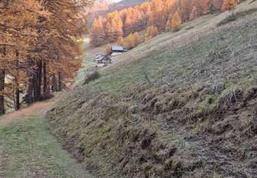
Un petit passage où il faut mettre les mains


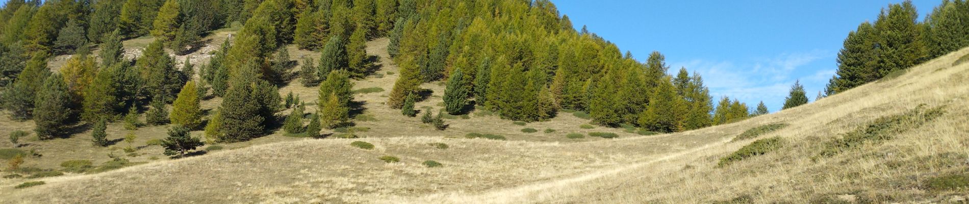
Walking

Walking

Walking

Walking

Other activity

Walking

Walking
Walking
Walking