


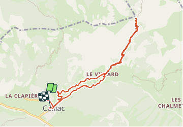

13.4 km | 26 km-effort

User


FREE GPS app for hiking
 SityTrail
IGN / Geographical institutes
SityTrail World
The world is yours!
Trail Walking of 10.5 km to be discovered at Provence-Alpes-Côte d'Azur, Hautes-Alpes, Ceillac. This trail is proposed by marchev.
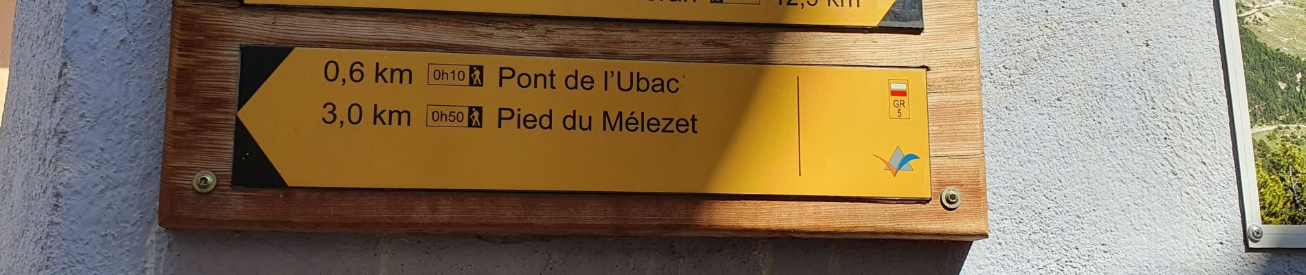
Ne pas oublier de visiter la chapelle Sainte Barbe au hameau du Villard. Pour revenir par la route et les cairns prendre un petit chemin qui est sur la carte mais peu traçé


Walking

Walking

Walking

Walking

Other activity

Walking

Walking
Walking
Walking