


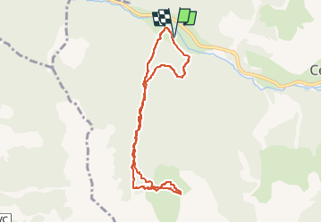

6.5 km | 11 km-effort

User


FREE GPS app for hiking
 SityTrail
IGN / Geographical institutes
SityTrail World
The world is yours!
Trail Touring skiing of 8.3 km to be discovered at Provence-Alpes-Côte d'Azur, Hautes-Alpes, Cervières. This trail is proposed by tchoua.
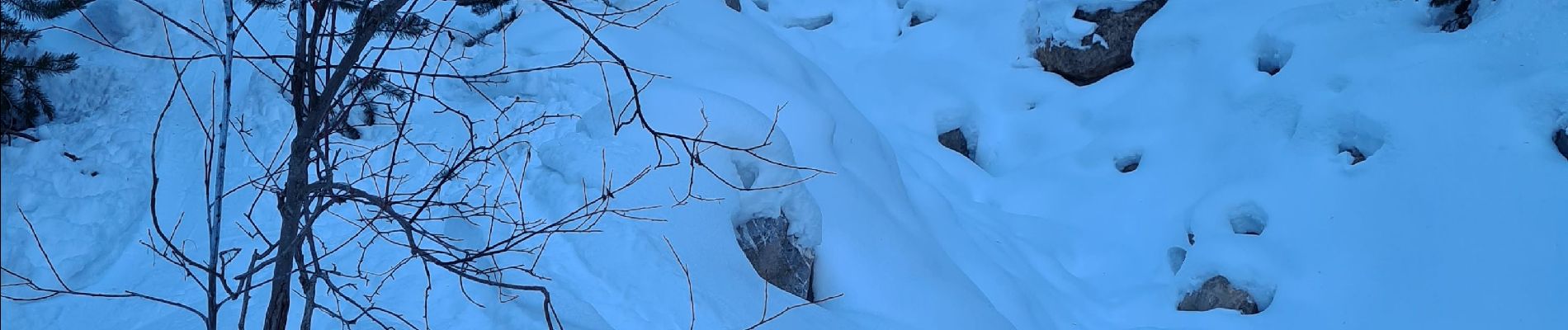
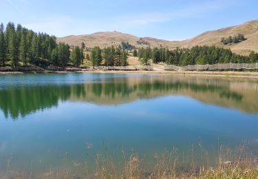
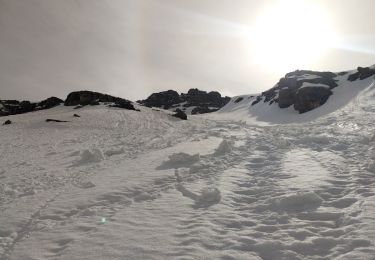
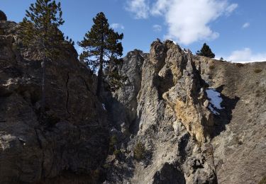
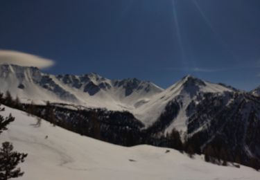
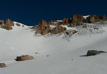
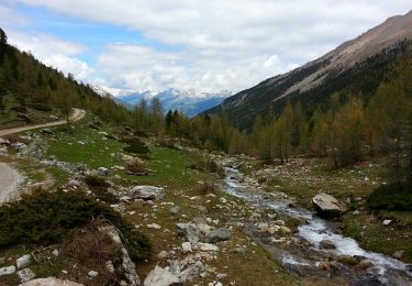
Belle randonnée à faire ,pas très longue , montée et descente se déroule dans le canyon avec un débouché vers la fin en forêt et des pentes plus douces , au sommet panorama magnifique à 360°.ceci dit il faut un bon niveau à ski pour la descente.


Walking
Walking
Touring skiing
Walking
Touring skiing

Touring skiing

Walking
Other activity
Walking