


5.3 km | 8.7 km-effort

User


FREE GPS app for hiking
 SityTrail
IGN / Geographical institutes
SityTrail World
The world is yours!
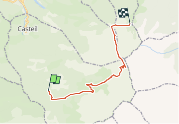
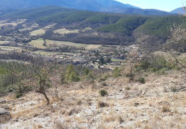
Trail Walking of 11.3 km to be discovered at Occitania, Pyrénées-Orientales, Casteil. This trail is proposed by jacques delaporte.
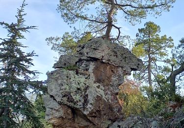
Étape 2 Ascension Canigou
Mariailles - Canigou - Refuge des Cortalets
Col Verd
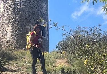
Refuge Arago
Portella de Vallmanya- 2591m
Brèche Durier - 2696m
La cheminée
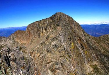
Pic du Canigou
Pic Joffre- 2362 m
GRP
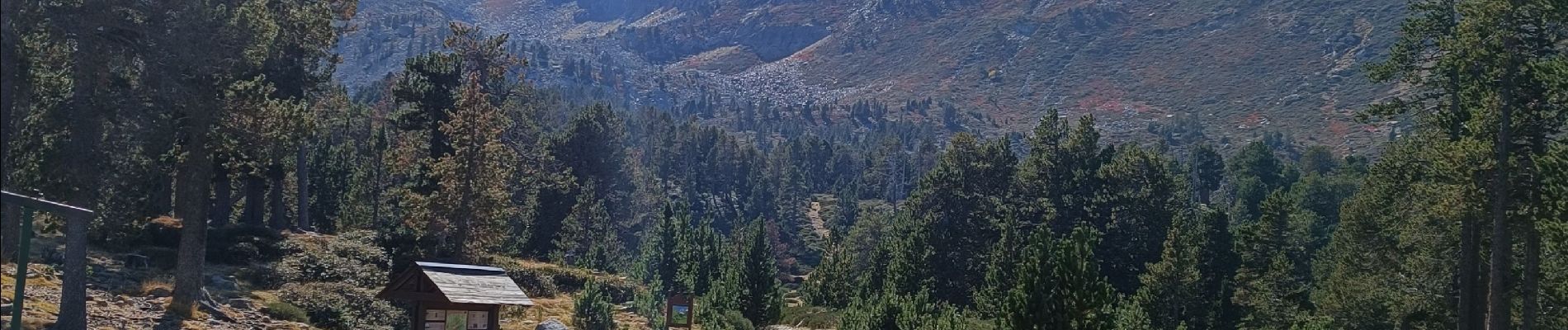
Refuge des Cortalets - 2171m
départ 8h
Pic du Canigou 12h
arrivée 14h30


115 photos in total. Please click on a photo to see them all in the gallery.

Walking

Walking
Walking

Walking

Walking
Walking
Walking
Walking

On foot