


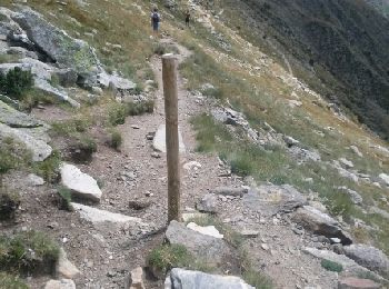
5.3 km | 8.7 km-effort
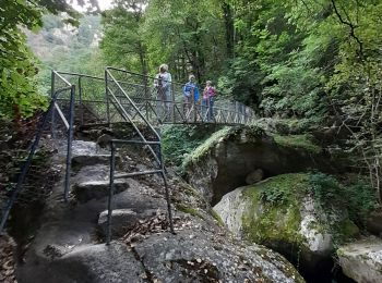
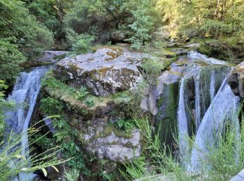
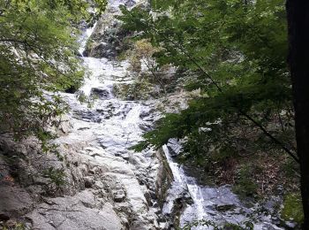
Casteil: Discover the best trails: 85 hiking trails. All these trails, routes and outdoor activities are available in our SityTrail applications for smartphones and tablets.
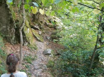
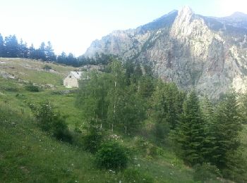
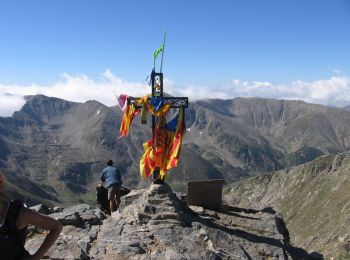
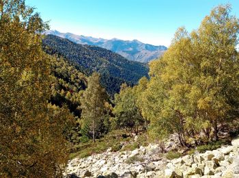
Walking


Walking
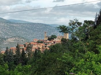
Walking
Walking
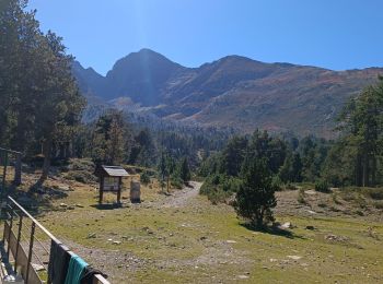
Walking
Walking
On foot
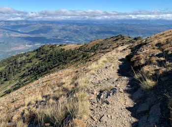
Walking

Walking

Walking
Walking
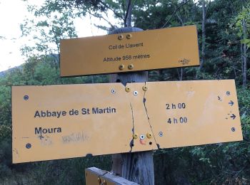
• Départ depuis le parking du Randé (piste depuis col de Jou), piste jusqu'au refuse de mariailles fermée en saison. su...

On foot
Walking
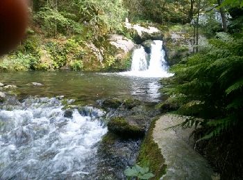
• SUIVRE SENTIER (marque jaune), retour par même sentier - sentier fermé à la cascade - spot de Canyoning (réglementé) ...
Walking
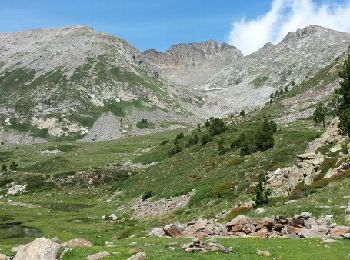
• Départ du parking le Randé 1520 m. Rando très jolie et très agréable car montée progressive et paysages magnifiques. ...

Walking
• Une bonne montée pendant 45mn ravitaillement en eau de source potable possible donc inutile de se charger.
Walking
• Une bonne montée pendant 45mn ravitaillement en eau de source potable possible donc inutile de se charger.
Walking
Walking
Walking
Walking
20 trails displayed on 91
FREE GPS app for hiking
 SityTrail
IGN / Geographical institutes
SityTrail World
The world is yours!