


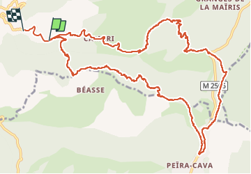

14.5 km | 25 km-effort


User


FREE GPS app for hiking
 SityTrail
IGN / Geographical institutes
SityTrail World
The world is yours!
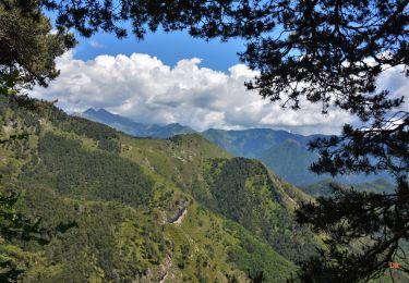
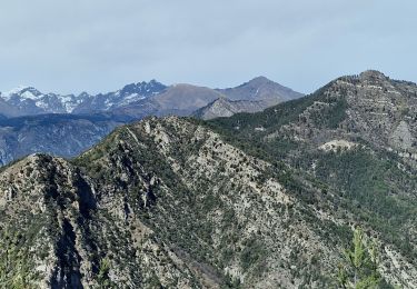
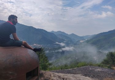
Trail Walking of 16.8 km to be discovered at Provence-Alpes-Côte d'Azur, Maritime Alps, Lantosque. This trail is proposed by azurmc.
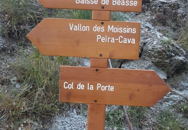
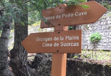
San Colomban - fores de mairis - Peira Cava
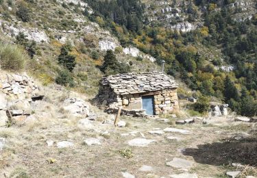
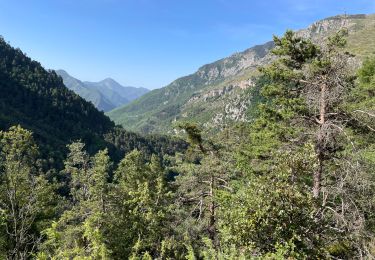
Beau tps
Walking
Walking
Walking
Walking
Walking
Walking
Walking
Nordic walking
Walking