


9.3 km | 18.5 km-effort


User


FREE GPS app for hiking
 SityTrail
IGN / Geographical institutes
SityTrail World
The world is yours!
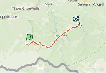
Trail Walking of 17.2 km to be discovered at Occitania, Pyrénées-Orientales, Fontpédrouse. This trail is proposed by LEGUE.
17km
850 positif
1672 négatif


Walking

Walking
Walking
Walking
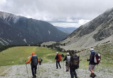
Walking

Walking

Snowshoes

Walking

Walking