


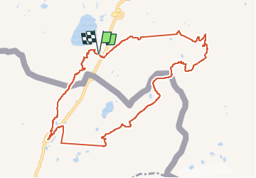

8.9 km | 13.7 km-effort

User


FREE GPS app for hiking
 SityTrail
IGN / Geographical institutes
SityTrail World
The world is yours!
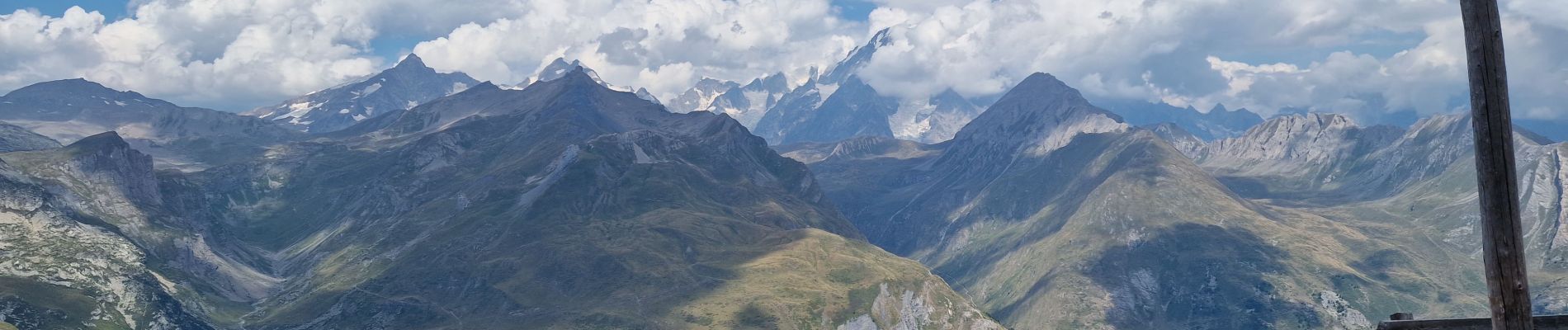
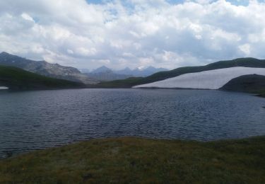
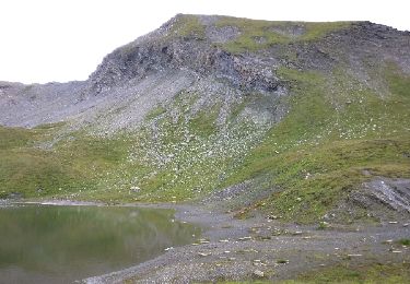
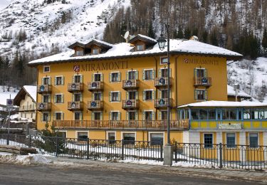
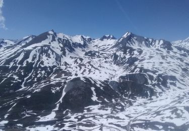
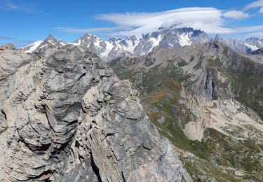
Trail Walking of 11.5 km to be discovered at Aosta Valley, Unknown, La Thuile. This trail is proposed by sandrine-s01.


Walking
Walking

Walking
On foot
Touring skiing
Walking
Walking
Walking
Walking