


15.6 km | 34 km-effort
La Thuile: Discover the best trails: 24 hiking trails. All these trails, routes and outdoor activities are available in our SityTrail applications for smartphones and tablets.
On foot


• Rifugio Alberto Deffeyes - Planaval Alte Vie Website: http://www.lovevda.it/it/banca-dati/7/alte-vie/valle-d-aosta/...
On foot
• La Thuile - Rifugio Alberto Deffeyes Alte Vie Website: http://www.lovevda.it/it/banca-dati/7/alte-vie/-valle-d-aost...
On foot
• Sentiero Italia CAI 2019
On foot
• Sentiero Italia CAI 2019
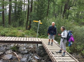
Walking
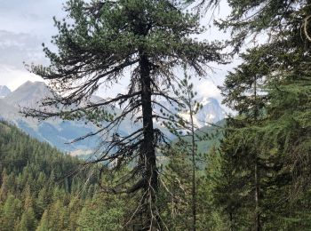
Walking
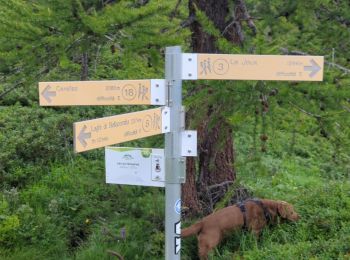
Walking
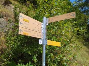
Walking

Walking
Walking
Walking
Walking

 3.188
3.188
sport
Walking
Walking
Walking
Walking
Walking

On foot
Walking
20 trails displayed on 25
FREE GPS app for hiking
 SityTrail
IGN / Geographical institutes
SityTrail World
The world is yours!