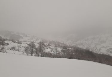
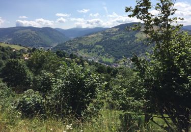
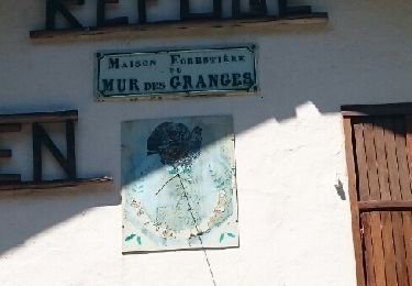
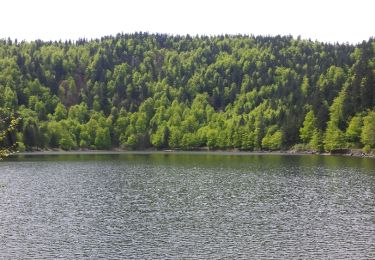
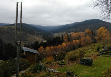
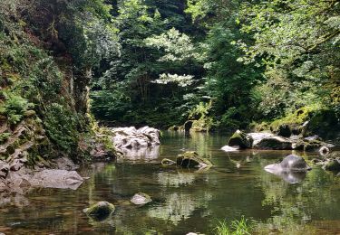
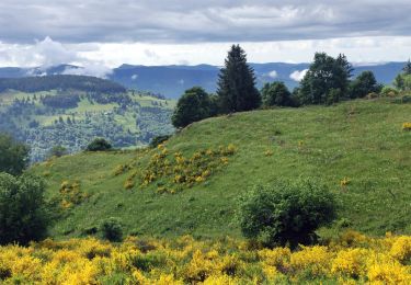
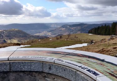
Trail Walking Cornimont - Cornimont Roche du lac des Corbeaux - Photo

Cornimont Roche du lac des Corbeaux

© OpenStreetMap contributors
Length
Length
17.9 km
Max alt
Max alt
1121 m
Uphill gradient
Uphill gradient
782 m
Km-Effort
Km-Effort  
28 km
Min alt
Min alt
510 m
Downhill gradient
Downhill gradient
782 m
Boucle
Boucle
Yes
Creation date :
2022-05-09 17:18:52.901
Updated on :
2022-05-09 17:18:55.701

(0 Reviews)

Walking
Walking
5h26
Difficulty : Medium

Scan this QR Code to open this trail in the SityTrail application

FREE GPS app for hiking

Logo SityTrail SityTrail

IGN / Geographical institutes

Download SityTrail from the App Store Download SityTrail from Google Play

Logo SityTrail SityTrail World

The world is yours!

Download SityTrail from the App Store Download SityTrail from Google Play Download SityTrail on Huawei AppGallery

About

Trail Walking of 17.9 km to be discovered at Grand Est, Vosges, Cornimont. This trail is proposed by Ludovic Fort.

Description

Prendre le rectangle vert, monter à notre Dame de la Paix 740 m, rejoindre la route goudronnée et la prendre sur la gauche jusqu'au bout.
Continuer sur le rectangle vert le chemin qui va à la Roche de minuit. Descendre sur le col du Brabant.
Traverser la route et remonter en face, rectangle vert, sur un sentier herbeux, puis rejoindre un grand chemin,. Le poursuivrez jusqu'à Rachutte, table, eau potable. Puis pour suivre jusqu'au Collet Mansuy 1049 m.
Prendre le cercle jaune jusqu'à la roche, passage délicat, point de vue.
Revenir sur ses pas jusqu'au Collet Mansuy.
Prendre les chevalets rouges, chemins herbeux qui descend 2ème sur la gauche.
À l'intersection suivante prendre le chemin sur la droite jusqu'au Brabant 892 m.
Prendre les triangle rouges qui descendent sur Xoulces.
Après l'usine, prendre à gauche le pont puis 1ère à droite rond rouge.
À la chapelle Saint Barthélémy, prendre la route qui descend à droite, puis prendre la route à gauche en direction de l'église.

Elevation profile

Positioning

Country:
France
Region :
Grand Est
Department/Province :
Vosges
Municipality :
Cornimont
Location:
Unknown
Start:(UTM)
338570 ; 5314416 (32T) N.

Trails nearby

Trail Walking La Bresse - la bresse - le moutier des fées  - Photo
Walking
GUIDE
stef789

Walking

Very easy
(1)
La Bresse, Grand Est, Vosges, France
26 km | 36 km-effort
3h 26min
No
Trail Walking La Bresse - Le Couchetat - Photo
Walking
fedinois1

Walking

Very easy
(2)
La Bresse, Grand Est, Vosges, France
4.8 km | 7.4 km-effort
1h 50min
Yes
Trail Walking Cornimont - Xoulces _ Grand Ventron _ Vieille Montagne - Photo
Walking
jeanclaude12

Walking

Medium
(1)
Cornimont, Grand Est, Vosges, France
15.6 km | 25 km-effort
5h 6min
No
Trail Walking La Bresse - Le col du Brabant et le lac des Corbeaux - Photo
Walking
VacheKiri67

Walking

Medium
(2)
La Bresse, Grand Est, Vosges, France
10.3 km | 16.4 km-effort
3h 51min
Yes
Trail Walking Ventron - L'Ermitage du Frère Joseph depuis Ventron - Photo
Walking
jeanclaude12

Walking

Easy
(1)
Ventron, Grand Est, Vosges, France
10.2 km | 15.4 km-effort
2h 49min
Yes
Trail Walking La Bresse - Le Moutier des Fées_backup_backup - Photo
Walking
GUIDE
Desrumaux

Walking

Easy
(1)
La Bresse, Grand Est, Vosges, France
9.1 km | 15.4 km-effort
3h 11min
Yes
Trail Horseback riding Gerbamont - 2022-06-05 Rando CVA Gerbamont Dommartin les Remiremont - Photo
Horseback riding
GUIDE
holtzv

Horseback riding

Difficult
Gerbamont, Grand Est, Vosges, France
24 km | 34 km-effort
5h 10min
No
Trail Horseback riding Gerbamont - 2022-06-04 Rando CVA Gerbamont Boucle Foret de Noire Goutte - Photo
Horseback riding
GUIDE
holtzv

Horseback riding

Very difficult
Gerbamont, Grand Est, Vosges, France
31 km | 43 km-effort
6h 2min
Yes
Trail Walking Ventron - 2022-02-19 Marche Ventron Tête des Champs - Photo
Walking
GUIDE
holtzv

Walking

Very difficult
Ventron, Grand Est, Vosges, France
22 km | 34 km-effort
5h 52min
Yes


Close
My subscriptions