

QUEYRAS (Ceillac)

GerardBouche
User

Length
13.2 km

Max alt
2413 m

Uphill gradient
829 m

Km-Effort
24 km

Min alt
1679 m

Downhill gradient
829 m
Boucle
Yes
Creation date :
2017-06-27 00:00:00.0
Updated on :
2017-06-27 00:00:00.0
4h50
Difficulty : Difficult

FREE GPS app for hiking
About
Trail Walking of 13.2 km to be discovered at Provence-Alpes-Côte d'Azur, Hautes-Alpes, Ceillac. This trail is proposed by GerardBouche.
Description
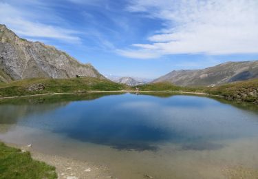
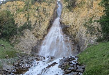
Un parcours de toute beauté au départ du Parking du Melezet->Cascade de la Pisse->Lac Miroir->Lac Ste-Anne->Prés de Chaurionde.
Positioning
Country:
France
Region :
Provence-Alpes-Côte d'Azur
Department/Province :
Hautes-Alpes
Municipality :
Ceillac
Location:
Unknown
Start:(Dec)
Start:(UTM)
324869 ; 4946524 (32T) N.
Comments
Trails nearby
Crêtes de Chambrettes


Walking
Medium
(1)
Ceillac,
Provence-Alpes-Côte d'Azur,
Hautes-Alpes,
France

13.4 km | 26 km-effort
5h 53min
Yes

05 Tour Font Sancte - étape 1


Walking
Very difficult
(1)
Ceillac,
Provence-Alpes-Côte d'Azur,
Hautes-Alpes,
France

16.5 km | 36 km-effort
8h 9min
No
Col Girardin


Walking
Very difficult
Ceillac,
Provence-Alpes-Côte d'Azur,
Hautes-Alpes,
France

14.5 km | 29 km-effort
6h 32min
Yes

Queyras_lac de Clausis


Walking
Very easy
(1)
Ceillac,
Provence-Alpes-Côte d'Azur,
Hautes-Alpes,
France

13.1 km | 26 km-effort
2h 59min
Yes
Ceillac - St Véran


Walking
Medium
Ceillac,
Provence-Alpes-Côte d'Azur,
Hautes-Alpes,
France

13.5 km | 28 km-effort
7h 22min
No
Col de la petite Par. Col Girardin


Other activity
Difficult
Ceillac,
Provence-Alpes-Côte d'Azur,
Hautes-Alpes,
France

13.9 km | 32 km-effort
7h 36min
Yes
le Longet ou tête du Rissace


Walking
Medium
Ceillac,
Provence-Alpes-Côte d'Azur,
Hautes-Alpes,
France

13 km | 25 km-effort
6h 26min
Yes
la pointe de la Saume (traversée)


Walking
Difficult
Ceillac,
Provence-Alpes-Côte d'Azur,
Hautes-Alpes,
France

15 km | 34 km-effort
6h 43min
No
Lac Ste Anne et Tête de Girardin


Walking
Medium
Ceillac,
Provence-Alpes-Côte d'Azur,
Hautes-Alpes,
France

14.4 km | 27 km-effort
5h 48min
Yes


 SityTrail


