


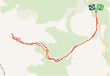

11.2 km | 22 km-effort

User GUIDE


FREE GPS app for hiking
 SityTrail
IGN / Geographical institutes
SityTrail World
The world is yours!
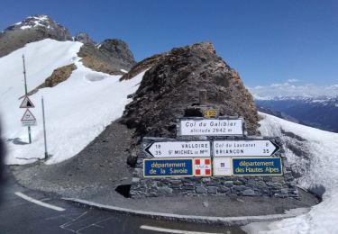
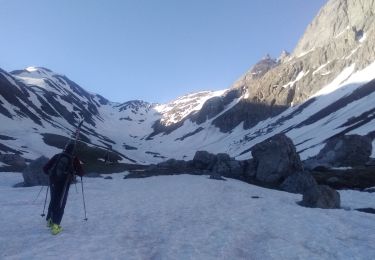
Trail Touring skiing of 14.1 km to be discovered at Auvergne-Rhône-Alpes, Savoy, Valloire. This trail is proposed by nadd73.
2eme parking de Bonnenuit. Descendre pour passer sur la passerelle des Charmettes Combe Montarveille et Combe Claret au mieux car souvent il manque de neige.


Walking

Walking
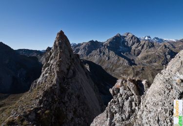
Touring skiing

Walking
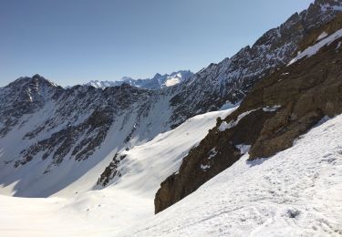
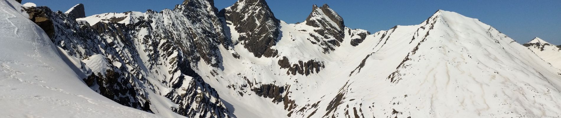
Touring skiing
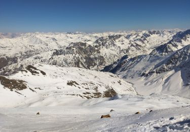
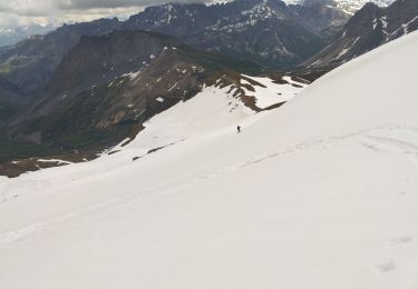
Touring skiing
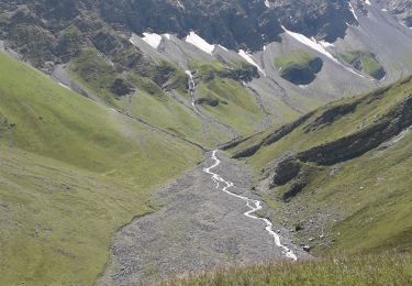
Walking
Touring skiing
Touring skiing