


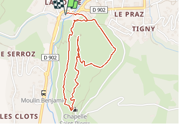

15.5 km | 29 km-effort

User


FREE GPS app for hiking
 SityTrail
IGN / Geographical institutes
SityTrail World
The world is yours!
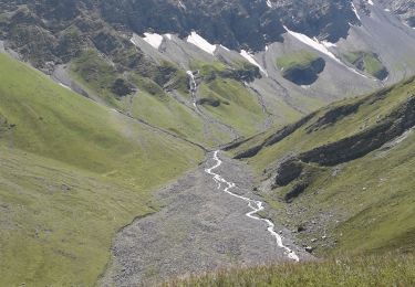
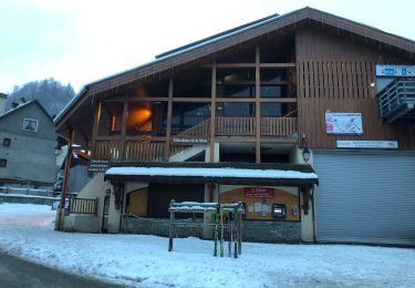
Trail Walking of 2.6 km to be discovered at Auvergne-Rhône-Alpes, Savoy, Valloire. This trail is proposed by tracegps.
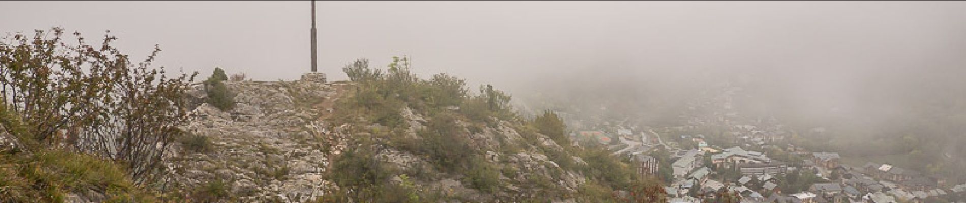
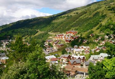
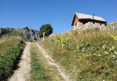
Le Rocher Saint-Pierre est une courte randonnée classique pour les estivants en vacance à Valloire. Depuis la Borgé, par le pont sur la Valloirette, le sentier du Rocher Saint-Pierre commence après la grotte, pour monter traverser le versant Ouest jusqu'à la Chapelle Saint-Pierre au Sud de la montagne. De là, le parcours de la crête traverse le sommet pour descendre par un passage rocheux escarpé trouver le sentier de la croix qui domine Valloire. Le retour par l'itinéraire normal rejoint le Pra pour retrouver rapidement le point de départ. Description complète sur sentier-nature.com : Le Rocher Saint-Pierre 1578 m, depuis la Borgé (Valloire) Avertissement [Franchissement 2/3 ; Exposition 2/3]. Certains passages de cet itinéraire de montagne sont escarpés et/ou exposés, il est déconseillé aux enfants non accompagnés et aux personnes sujettes au vertige. Pour votre sécurité, nous vous invitons à respecter les règles suivantes : être bien chaussé, ne pas s'engager par mauvais temps, ne pas s'écarter de l'itinéraire ni des sentiers.
 - Photo 1")
Walking

Walking
Walking
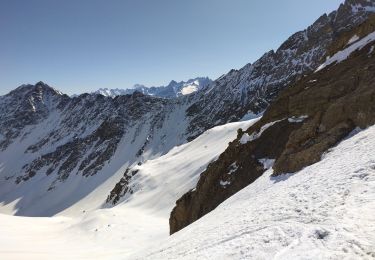
Touring skiing
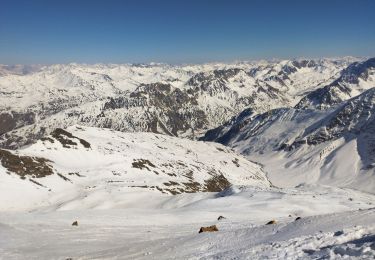
Touring skiing
Walking
Snowshoes
Walking
Walking