


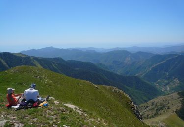
14.5 km | 26 km-effort


Tous les sentiers balisés d’Europe GUIDE+


FREE GPS app for hiking
 SityTrail
IGN / Geographical institutes
SityTrail World
The world is yours!
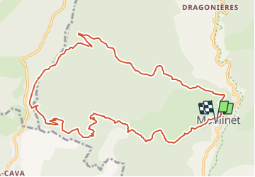
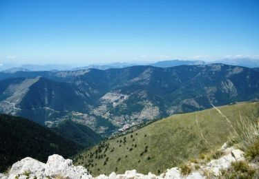
Trail On foot of 13.4 km to be discovered at Provence-Alpes-Côte d'Azur, Maritime Alps, Moulinet. This trail is proposed by SityTrail - itinéraires balisés pédestres.
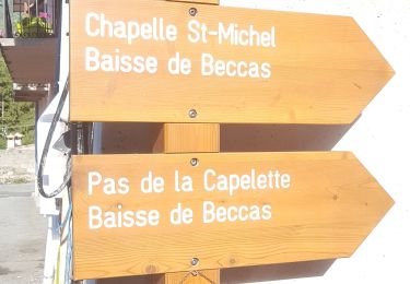
Randonnée pédestre - Au départ de Moulinet (800 m)
Website: https://randoxygene.departement06.fr/bevera-paillon/baisse-de-peira-cava-9390.html


On foot

On foot

On foot

Walking
Walking
Walking

Snowshoes
Walking

Walking