


6.5 km | 10.5 km-effort
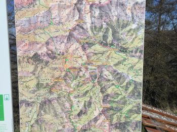
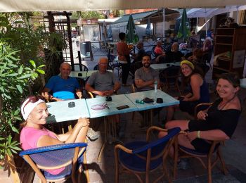
Moulinet: Discover the best trails: 59 hiking trails and 6 bike and mountain-bike routes. All these trails, routes and outdoor activities are available in our SityTrail applications for smartphones and tablets.
On foot


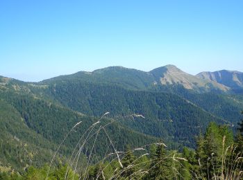
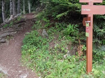
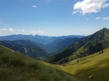
• Randonnée pédestre - Haut pays : Au départ du col de Turini (1 604 mètres) Website: https://randoxygene.departement0...
On foot
• Randonnée pédestre - Haut pays : Au départ du col de Turini (1 604 mètres) Website: https://randoxygene.departement0...
On foot
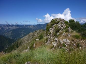
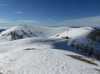
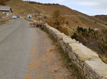
• Randonnée pédestre - Haut pays : Au départ de l’Authion (1 889 mètres) Website: https://randoxygene.departement06.fr...
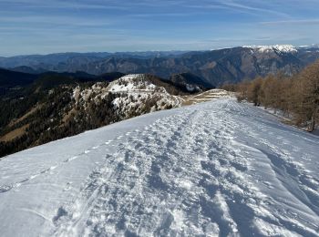
Snowshoes
Walking
On foot
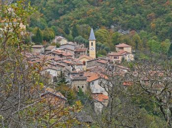
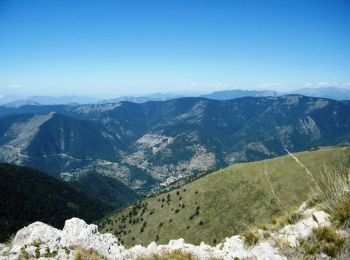
• Randonnée pédestre - Au départ de Moulinet (800 m) Website: https://randoxygene.departement06.fr/bevera-paillon/bais...
Walking

Walking
Walking
Walking
Walking
Snowshoes
Walking
Walking

Walking
Walking
Walking
Walking
Walking
Walking
20 trails displayed on 70
FREE GPS app for hiking
 SityTrail
IGN / Geographical institutes
SityTrail World
The world is yours!