


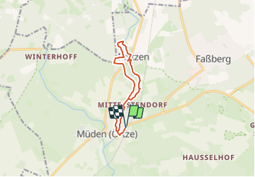

13.7 km | 15.2 km-effort

Tous les sentiers balisés d’Europe GUIDE+


FREE GPS app for hiking
 SityTrail
IGN / Geographical institutes
SityTrail World
The world is yours!
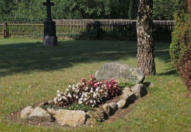
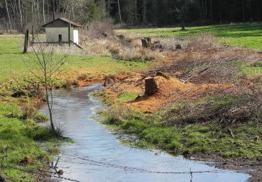
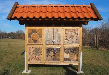
Trail On foot of 9 km to be discovered at Lower Saxony, Landkreis Celle, Faßberg. This trail is proposed by SityTrail - itinéraires balisés pédestres.
Zwischen Hermannsburg, Müden (Örtze) und Poitzen erschließt der Fluss-Wald-Erlebnispfad die Landschaft des Örtzetals (Rundweg)
Website: https://www.lueneburger-heide.de/9142
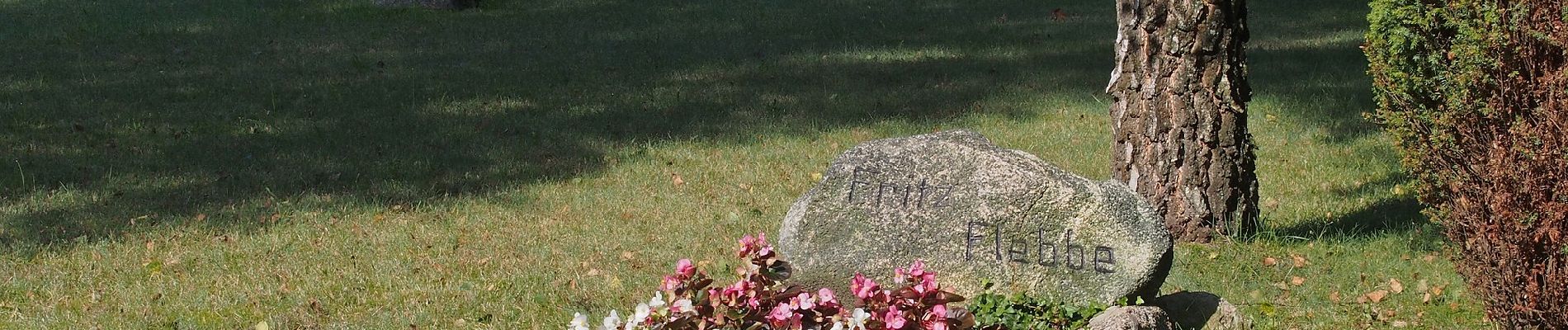
 - Photo 1")
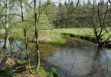
 - Photo 2")
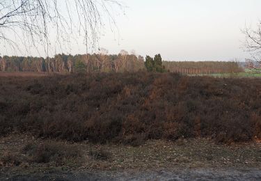
 - Photo 3")
 - Photo 4")
 - Photo 5")
 - Photo 6")
 - Photo 7")
 - Photo 8")
 - Photo 9")
 - Photo 10")
On foot
On foot
On foot
On foot
On foot
On foot
On foot
On foot
On foot