


4.2 km | 4.7 km-effort
Faßberg: Discover the best trails: 16 hiking trails. All these trails, routes and outdoor activities are available in our SityTrail applications for smartphones and tablets.
On foot


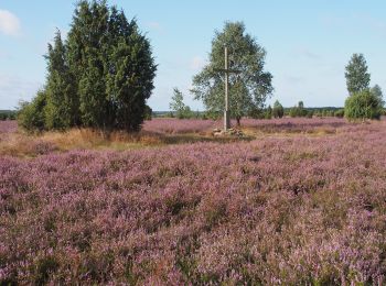
• Die Touren des W5 "Kieselgur, das Gold der Heide" führen über ausgedehnte Heideflächen durch das ehemalige Kieselgur-...
On foot
• Die Rundwanderwege des W5 "Kieselgur, das Gold der Heide" führen über ausgedehnte Heideflächen durch das ehemalige Ki...
On foot
• Die Touren des W5 "Kieselgur, das Gold der Heide" führen über ausgedehnte Heideflächen durch das ehemalige Kieselgur-...
On foot
• Die sagenhafte Aussicht dieses Wanderweges vom Wietzer Berg bei Müden begeistert unsere Wanderer immer wieder. Websi...
On foot
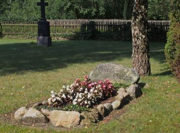
• Wanderweg ab Müden: Einmaliges Panorama, sagenumwobener Elfenberg und Hügelgräber.Auf dem Wanderweg W4 "Sagenhafte Si...
On foot
• Einmaliges Panorama, ein sagenumwobener Elfenberg und Hügelgräber - auf dem Wanderweg W4 "Sagenhafte Sicht im Elfenla...
On foot
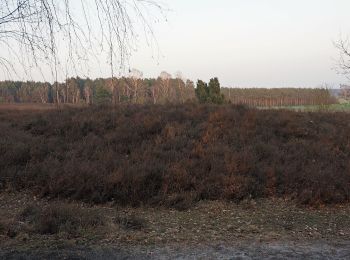
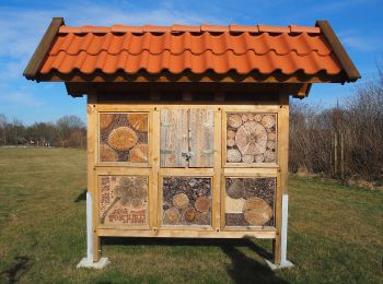
• Der Wanderweg W2 "Wo der Wald mit der Heide kusselt" führt Sie entlang ausgedehnter Heideflächen und tiefer Kiefernwä...
On foot
• Der Wanderweg W2 "Wo der Wald mit der Heide kusselt" führt Sie entlang ausgedehnter Heideflächen und tiefer Kiefernwä...
On foot
• Der Wanderweg W2 "Wo der Wald mit der Heide kusselt" führt Sie entlang ausgedehnter Heideflächen und tiefer Kiefernwä...
On foot
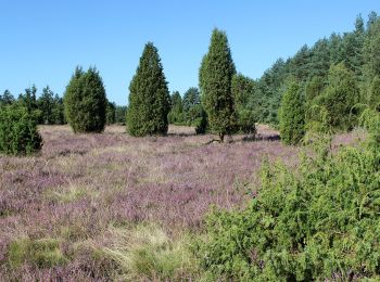
• Der Wanderweg W1 "Der Wacholderwald in der Teufelsheide" führt in den nördlichsten Zipfel des Naturparks Südheide, du...
On foot
• Der Rundwanderweg W1 "Der Wacholderwald in der Teufelsheide" führt in den nördlichsten Zipfel des Naturparks Südheide...
On foot
• Der Wanderweg W1 "Der Wacholderwald in der Teufelsheide" führt in den nördlichsten Zipfel des Naturparks Südheide, du...
On foot
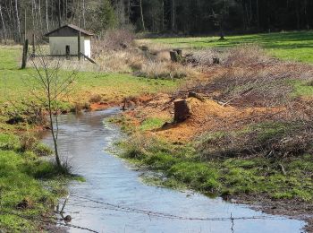
• Zwischen Hermannsburg, Müden (Örtze) und Poitzen erschließt der Wanderweg Fluss-Wald-Erlebnispfad die Landschaft des ...
On foot
• Zwischen Hermannsburg, Müden (Örtze) und Poitzen erschließt der Fluss-Wald-Erlebnispfad die Landschaft des Örtzetals ...
On foot
• Zwischen Hermannsburg, Müden (Örtze) und Poitzen erschließt der Wanderweg Fluss-Wald-Erlebnispfad die Landschaft des ...

On foot
• Trail created by Landkreis Celle als Träger des Naturparks Südheide. Symbol: Piktogramm: Diatomeen-Schale
16 trails displayed on 16
FREE GPS app for hiking
 SityTrail
IGN / Geographical institutes
SityTrail World
The world is yours!