


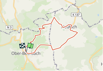

13.3 km | 18.1 km-effort


Tous les sentiers balisés d’Europe GUIDE+


FREE GPS app for hiking
 SityTrail
IGN / Geographical institutes
SityTrail World
The world is yours!
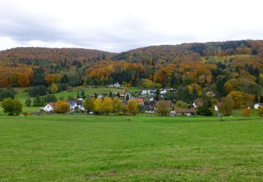
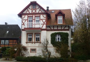
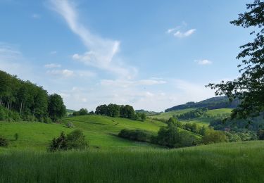
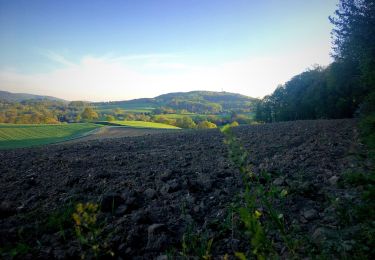
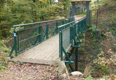
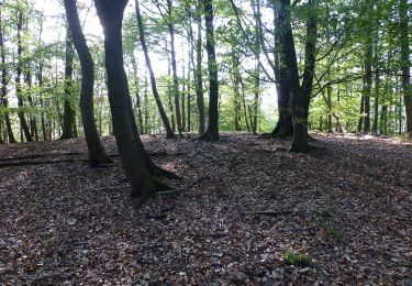
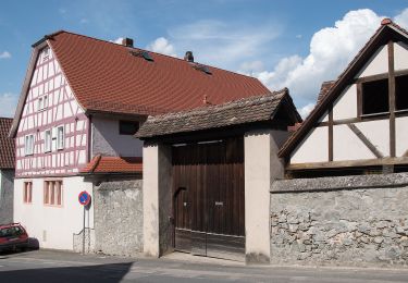
Trail On foot of 7.1 km to be discovered at Hesse, Landkreis Darmstadt-Dieburg, Seeheim-Jugenheim. This trail is proposed by SityTrail - itinéraires balisés pédestres.
Trail created by Geo-Naturpark Bergstraße-Odenwald.
Symbol: white 1 in a white circle with OB in a break at the top of the circle


On foot
On foot
On foot
On foot
On foot
On foot
On foot
On foot
On foot