


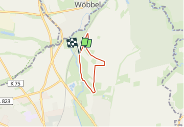

3.4 km | 4 km-effort

Tous les sentiers balisés d’Europe GUIDE+


FREE GPS app for hiking
 SityTrail
IGN / Geographical institutes
SityTrail World
The world is yours!
Trail On foot of 3.4 km to be discovered at North Rhine-Westphalia, Kreis Höxter, Steinheim. This trail is proposed by SityTrail - itinéraires balisés pédestres.
Symbol: weißes A3 auf schwarzem Grund


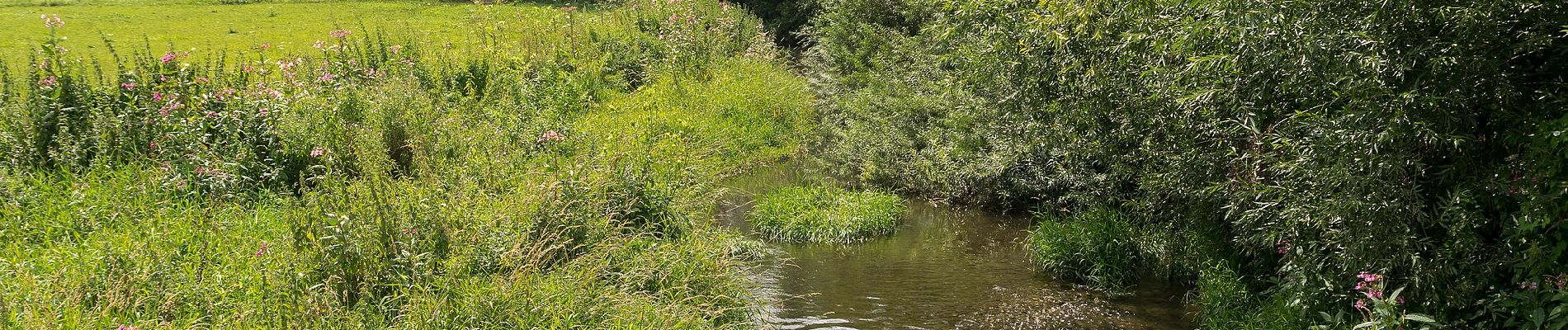
![Trail On foot Horn-Bad Meinberg - Norderteich-Rundwanderweg [Billerbeck / Entenkrug] - Photo](https://media.geolcdn.com/t/375/260/0fd9e1b3-fa56-43c1-84a2-bd9d47765815.jpeg&format=jpg&maxdim=2)
On foot
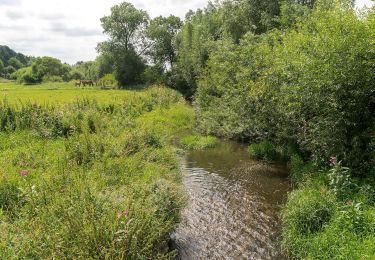
![Trail On foot Horn-Bad Meinberg - Rundwanderweg [Entenkrug / Belle] - Photo](https://media.geolcdn.com/t/375/260/9e2da189-e14c-4292-a999-33745ed99a73.jpeg&format=jpg&maxdim=2)
On foot
On foot
On foot
On foot

On foot
On foot
On foot
On foot