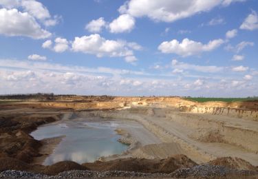
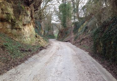
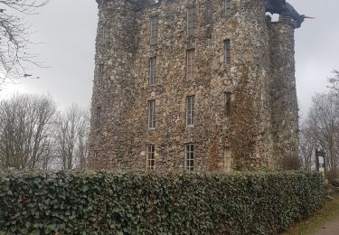
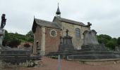
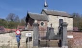
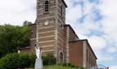
Trail On foot Bassenge - 5.Eben-Emael/6.Roclenge-sur-Geer: Rectangle Vertical Jaune - Photo

5.Eben-Emael/6.Roclenge-sur-Geer: Rectangle Vertical Jaune

Tous les sentiers balisés d’Europe GUIDE+

© OpenStreetMap contributors
Length
Length
12.2 km
Max alt
Max alt
129 m
Uphill gradient
Uphill gradient
201 m
Km-Effort
Km-Effort  
14.9 km
Min alt
Min alt
64 m
Downhill gradient
Downhill gradient
201 m
Boucle
Boucle
Yes
Signpost
Signpost
Creation date :
2022-02-09 18:34:10.269
Updated on :
2022-02-09 18:34:10.269

(1 Reviews)

On foot
On foot
3h23
Difficulty : Easy

Scan this QR Code to open this trail in the SityTrail application

FREE GPS app for hiking

Logo SityTrail SityTrail
IGN / Geographical institutes

Download SityTrail from the App Store Download SityTrail from Google Play

Logo SityTrail SityTrail World
The world is yours!

Download SityTrail from the App Store Download SityTrail from Google Play Download SityTrail on Huawei AppGallery

About

Trail On foot of 12.2 km to be discovered at Wallonia, Liège, Bassenge. This trail is proposed by SityTrail - itinéraires balisés pédestres.

Description

Le massif calcaire de la Montagne Saint-Pierre se situe à la frontière des Pays-Bas, de la Flandre et de la Wallonie. Cette région exceptionnelle vous emmènera à la découverte de petits villages pittoresques, de forts et de châteaux, de nombreux cours d’eau et d’une nature exceptionnelle.

Website: http://www.montagnesaintpierre.org

Elevation profile

Photos

Positioning

Country:
Belgium
Region :
Wallonia
Department/Province :
Liège
Municipality :
Bassenge
Location:
Unknown
Start:(UTM)
683105 ; 5625882 (31U) N.

Comments

Please log in to post a review or rate the element


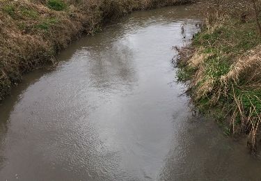
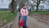
Partis sur la balade balisée 🟨, mais après 7 km, trop de pluie ☔️, trop de boue, alors retour le long du Geer afin d'éviter les derniers champs labourés.


Trails nearby

Trail Walking Bassenge - Eben-Emael Kanne - Photo
Walking
Jullido1

Walking

Easy
(2)
Bassenge, Wallonia, Liège, Belgium
14.9 km | 18.9 km-effort
3h 19min
Yes
Trail Walking Bassenge - Bassenge, vallée du Geer - Photo
Walking
henriantoine

Walking

Easy
(5)
Bassenge, Wallonia, Liège, Belgium
9 km | 10.8 km-effort
2h 42min
Yes
Trail Walking Bassenge - marche adeps sublime  au départ de wonck  - Photo
Walking
berger64

Walking

Very easy
(1)
Bassenge, Wallonia, Liège, Belgium
15.7 km | 18.8 km-effort
3h 43min
Yes
Trail Walking Visé - entre montagne st Pierre et vallée du geer  - Photo
Walking
GUIDE
stef789

Walking

Very easy
(1)
Visé, Wallonia, Liège, Belgium
9.8 km | 12.4 km-effort
2h 0min
Yes
Trail Walking Bassenge - Eben-Emael , départ au parking du moulin de Broukay - Photo
Walking
henriantoine

Walking

Very easy
(3)
Bassenge, Wallonia, Liège, Belgium
7.1 km | 8.5 km-effort
2h 42min
Yes
Trail Walking Oupeye - 20230731 - Heure-le- Romain 6.1 Km - Photo
Walking
GUIDE
pierreh01

Walking

Medium
Oupeye, Wallonia, Liège, Belgium
6.1 km | 7.4 km-effort
1h 38min
Yes
Trail Walking Oupeye - 20230719 - TOTEMUS Heure-le-Romain - 6.2 Km - Photo
Walking
GUIDE
pierreh01

Walking

Medium
(1)
Oupeye, Wallonia, Liège, Belgium
6.2 km | 7.5 km-effort
2h 46min
Yes
Trail On foot Riemst - Millen Rode pijl - Photo
On foot
GUIDE+

On foot

Easy
Riemst, Flanders, Limburg, Belgium
3.7 km | 4 km-effort
54min
Yes
Trail On foot Bassenge - 6.Roclenge-sur-Geer: Croix Orange - Photo
On foot
GUIDE+

On foot

Easy
Bassenge, Wallonia, Liège, Belgium
7.8 km | 9.6 km-effort
2h 10min
Yes


Close
My subscriptions