


14.9 km | 18.9 km-effort
Bassenge: Discover the best trails: 196 hiking trails and 3 bike and mountain-bike routes. All these trails, routes and outdoor activities are available in our SityTrail applications for smartphones and tablets.
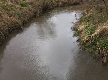
Walking


• Boucle qui part du village d'Eben pour aller jusqu'au très beau village de Kanne et son port.
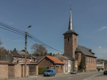
Walking
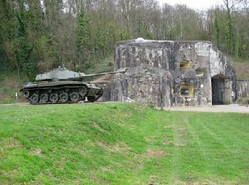
• Point de départ et de retour :le petit Lourdes a Bassenge, un tunnel de chemin de fer construit durant la guerre 14/1...
Walking
Walking
Walking
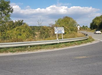
On foot
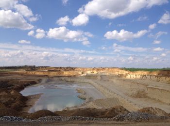
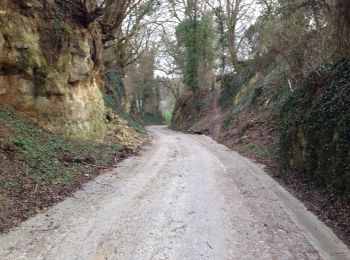
• Le massif calcaire de la Montagne Saint-Pierre se situe à la frontière des Pays-Bas, de la Flandre et de la Wallonie....
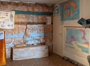
On foot
• Le massif calcaire de la Montagne Saint-Pierre se situe à la frontière des Pays-Bas, de la Flandre et de la Wallonie....
On foot
• Le massif calcaire de la Montagne Saint-Pierre se situe à la frontière des Pays-Bas, de la Flandre et de la Wallonie....
On foot
• Le massif calcaire de la Montagne Saint-Pierre se situe à la frontière des Pays-Bas, de la Flandre et de la Wallonie....
On foot
• Le massif calcaire de la Montagne Saint-Pierre se situe à la frontière des Pays-Bas, de la Flandre et de la Wallonie....
On foot
• Het kalkmassief van de Sint-Pietersberg ligt op de grens van Nederland, Vlaanderen en Wallonië. Dit is een unieke str...
Walking
Walking
Walking

Walking
Walking

Walking
Walking
Walking
Walking
20 trails displayed on 209
FREE GPS app for hiking
 SityTrail
IGN / Geographical institutes
SityTrail World
The world is yours!