![](/images/other/stat-length.png)
Mettet_20220123_082623
pascalou73
User GUIDE
![Length](/images/other/stat-length.png)
Length
42 km
![Max alt](https://static1.geolcdn.com/siteimages/upload/files/1508320355ic_sort_altitude_max_24dp.png)
Max alt
279 m
![Uphill gradient](https://static1.geolcdn.com/siteimages/upload/files/1508320355ic_sort_den_pos_24dp.png)
Uphill gradient
580 m
![Km-Effort](/images/other/stat-length.png)
Km-Effort
50 km
![Min alt](https://static1.geolcdn.com/siteimages/upload/files/1508320355ic_sort_altitude_min_24dp.png)
Min alt
158 m
![Downhill gradient](https://static1.geolcdn.com/siteimages/upload/files/1508320355ic_sort_den_neg_24dp.png)
Downhill gradient
579 m
![Boucle](https://static1.geolcdn.com/siteimages/upload/files/16400158638029165_repeat_loop_refresh_sync_direction_icon.png)
Boucle
Yes
Creation date :
2022-01-25 12:48:01.758
Updated on :
2022-01-25 12:49:48.414
![Mountain bike](https://static1.geolcdn.com/sitytour/trail-icons/202.png)
3h26
Difficulty : Very difficult
![Scan this QR Code to open this trail in the SityTrail application](https://capi.geolives.com/qq0zvz2zws4bq2lad0pu/sitytour/trails/3063850/qr.png?size=200)
FREE GPS app for hiking
About
Trail Mountain bike of 42 km to be discovered at Wallonia, Hainaut, Gerpinnes. This trail is proposed by pascalou73.
Description
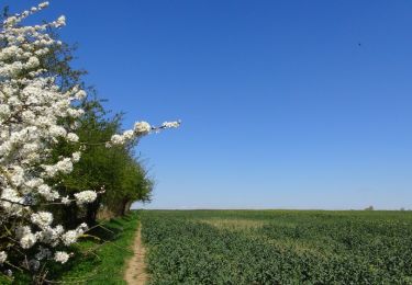
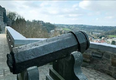
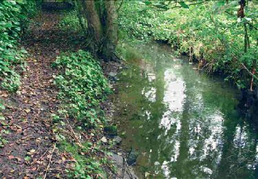
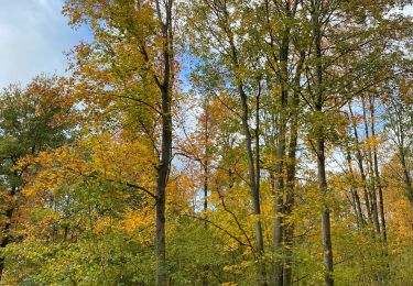
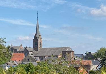
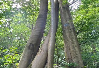
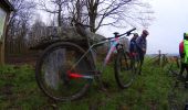
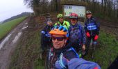
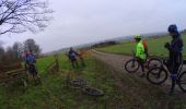
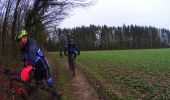
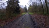
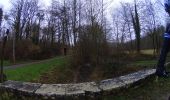
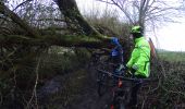
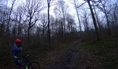
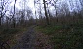
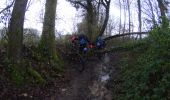
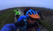
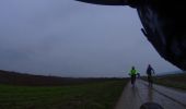
Voilà une randonnée au départ de Gerpinnes .une randonnée VTT entre les campagnes et les bois de la région un VTT qui vous fait voir les beaux chemins de la région et les villages.
Positioning
Country:
Belgium
Region :
Wallonia
Department/Province :
Hainaut
Municipality :
Gerpinnes
Location:
Unknown
Start:(Dec)
Start:(UTM)
608676 ; 5577374 (31U) N.
Comments
Trails nearby
![Trail Walking Gerpinnes - La promenade des Lacs de Loverval - Photo](https://media.geolcdn.com/t/375/260/ext.jpg?maxdim=2&url=https%3A%2F%2Fstatic1.geolcdn.com%2Fsiteimages%2Fupload%2Ffiles%2F1553511878bg_sport_marche.png)
![Walking Walking](https://static1.geolcdn.com/sitytour/trail-icons/101.png)
La promenade des Lacs de Loverval
Walking
Easy
(7)
Gerpinnes,
Wallonia,
Hainaut,
Belgium
![](/images/other/stat-length.png)
8.5 km | 10.6 km-effort
2h 10min
![](https://static1.geolcdn.com/siteimages/upload/files/16400158638029165_repeat_loop_refresh_sync_direction_icon.png)
Yes
![Trail Walking Châtelet - Balade à Châtelet - Des Marchaux à Sébastopol - Photo](https://media.geolcdn.com/t/375/260/ext.jpg?maxdim=2&url=https%3A%2F%2Fservices.sitytrail.com%2FGeolivesWS%2FDownloadMedia.ashx%3FTrailID%3D410537%26Media%3Dac6fc019-bf8a-4700-8d9f-90a7a3df3f48.JPG)
![Walking Walking](https://static1.geolcdn.com/sitytour/trail-icons/101.png)
Balade à Châtelet - Des Marchaux à Sébastopol
Walking
Easy
(4)
Châtelet,
Wallonia,
Hainaut,
Belgium
![](/images/other/stat-length.png)
10.1 km | 12.3 km-effort
2h 40min
![](https://static1.geolcdn.com/siteimages/upload/files/16400158638029165_repeat_loop_refresh_sync_direction_icon.png)
Yes
![Trail Walking Gerpinnes - RB-HA-07 – Raccourci - Val de Sambre et Thudinie - Photo](https://media.geolcdn.com/t/375/260/ext.jpg?maxdim=2&url=https%3A%2F%2Fservices.sitytrail.com%2FGeolivesWS%2FDownloadMedia.ashx%3FTrailID%3D218725%26Media%3D62f2327c-676f-4ebe-a1e1-c69d1a3c316d.jpg)
![Walking Walking](https://static1.geolcdn.com/sitytour/trail-icons/101.png)
RB-HA-07 – Raccourci - Val de Sambre et Thudinie
Walking
Very difficult
(3)
Gerpinnes,
Wallonia,
Hainaut,
Belgium
![](/images/other/stat-length.png)
19.9 km | 25 km-effort
5h 36min
![](https://static1.geolcdn.com/siteimages/upload/files/16400158638029165_repeat_loop_refresh_sync_direction_icon.png)
Yes
![Trail Walking Florennes - RB-Na-15 Campagnes et forêts de l’Entre-Sambre-et-Meuse - Photo](https://media.geolcdn.com/t/375/260/ext.jpg?maxdim=2&url=https%3A%2F%2Fservices.sitytrail.com%2FGeolivesWS%2FDownloadMedia.ashx%3FTrailID%3D179641%26Media%3Dcd0eccee-617e-4840-aac3-bf752b2b2900.jpg)
![Walking Walking](https://static1.geolcdn.com/sitytour/trail-icons/101.png)
RB-Na-15 Campagnes et forêts de l’Entre-Sambre-et-Meuse
Walking
Easy
(7)
Florennes,
Wallonia,
Namur,
Belgium
![](/images/other/stat-length.png)
23 km | 27 km-effort
5h 59min
![](https://static1.geolcdn.com/siteimages/upload/files/16400158638029165_repeat_loop_refresh_sync_direction_icon.png)
Yes
![Trail Walking Gerpinnes - RB-HA-07 - Val de Sambre et Thudinie - Photo](https://media.geolcdn.com/t/375/260/ext.jpg?maxdim=2&url=https%3A%2F%2Fservices.sitytrail.com%2FGeolivesWS%2FDownloadMedia.ashx%3FTrailID%3D179600%26Media%3D62f2327c-676f-4ebe-a1e1-c69d1a3c316d.jpg)
![Walking Walking](https://static1.geolcdn.com/sitytour/trail-icons/101.png)
RB-HA-07 - Val de Sambre et Thudinie
Walking
Very difficult
(3)
Gerpinnes,
Wallonia,
Hainaut,
Belgium
![](/images/other/stat-length.png)
17.8 km | 22 km-effort
4h 58min
![](https://static1.geolcdn.com/siteimages/upload/files/16400158638029165_repeat_loop_refresh_sync_direction_icon.png)
Yes
![Trail Walking Gerpinnes - 100 pc forestier - Photo](https://media.geolcdn.com/t/375/260/359c3f01-a3f3-427a-96cf-dcc1c9f53ce0.jpg&format=jpg&maxdim=2)
![Walking Walking](https://static1.geolcdn.com/sitytour/trail-icons/101.png)
100 pc forestier
Walking
Difficult
(1)
Gerpinnes,
Wallonia,
Hainaut,
Belgium
![](/images/other/stat-length.png)
10.3 km | 12.7 km-effort
2h 45min
![](https://static1.geolcdn.com/siteimages/upload/files/16400158638029165_repeat_loop_refresh_sync_direction_icon.png)
Yes
![Walking Walking](https://static1.geolcdn.com/sitytour/trail-icons/101.png)
Fromiée Gougnies
Walking
Medium
(1)
Gerpinnes,
Wallonia,
Hainaut,
Belgium
![](/images/other/stat-length.png)
6.7 km | 8.2 km-effort
1h 40min
![](https://static1.geolcdn.com/siteimages/upload/files/16400158638029165_repeat_loop_refresh_sync_direction_icon.png)
Yes
![Trail Walking Gerpinnes - Fromiée Belle haie GR129 - Photo](https://media.geolcdn.com/t/375/260/ef988689-339a-488a-975c-45144631053a.jpg&format=jpg&maxdim=2)
![Walking Walking](https://static1.geolcdn.com/sitytour/trail-icons/101.png)
Fromiée Belle haie GR129
Walking
Difficult
(1)
Gerpinnes,
Wallonia,
Hainaut,
Belgium
![](/images/other/stat-length.png)
7.1 km | 8.6 km-effort
1h 20min
![](https://static1.geolcdn.com/siteimages/upload/files/16400158638029165_repeat_loop_refresh_sync_direction_icon.png)
Yes
![Trail Walking Florennes - RB-Na-15 Raccourci - Campagnes et forêts de l’Entre-Sambre-et-Meuse - Photo](https://media.geolcdn.com/t/375/260/ext.jpg?maxdim=2&url=https%3A%2F%2Fservices.sitytrail.com%2FGeolivesWS%2FDownloadMedia.ashx%3FTrailID%3D213765%26Media%3Dbdd90a99-a997-460a-a12d-eae6fea055d6.jpg)
![Walking Walking](https://static1.geolcdn.com/sitytour/trail-icons/101.png)
RB-Na-15 Raccourci - Campagnes et forêts de l’Entre-Sambre-et-Meuse
Walking
Very easy
(3)
Florennes,
Wallonia,
Namur,
Belgium
![](/images/other/stat-length.png)
13.8 km | 16.5 km-effort
3h 27min
![](https://static1.geolcdn.com/siteimages/upload/files/16400158638029165_repeat_loop_refresh_sync_direction_icon.png)
Yes